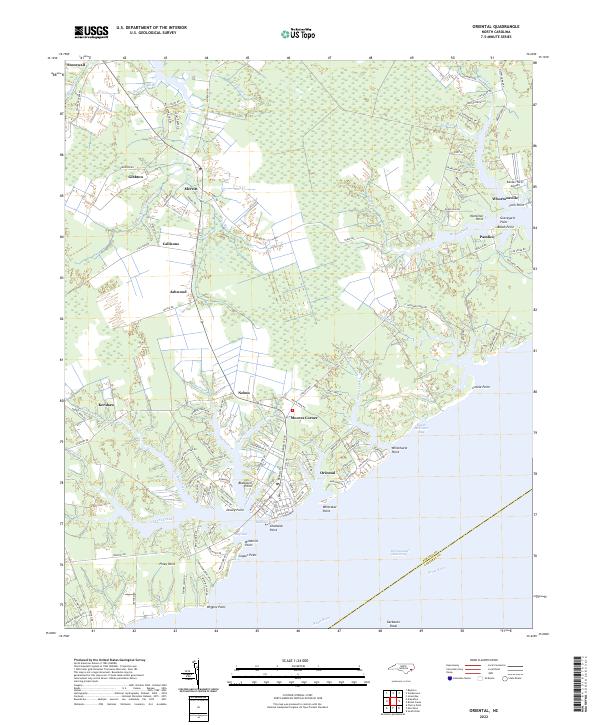
2022 Map of Oriental
USGS Topo · Published 2022About this map
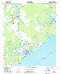
Oriental serves as the central hub on this coastal reach, where the Neuse River meets the Intracoastal Waterway. The landscape is defined by its deep indentation of creeks and guts, creating a series of prominent points such as Whittaker Point and Chadwick Point. This intricate shoreline fostered small, water-dependent communities like Whortonsville and Pamlico, situated near the mouth of Broad Creek. Inland, the terrain transitions to lower-lying drainages like Alligator Cr and Rattlesnake Br, where settlements such as Merritt and Stonewall developed along early road networks.
Find a feature on this map
130 named features on this map. Tap any name to fly to it.
Don’t see what you’re looking for? This feature index may not catch every label — zoom into the map to look around manually.
Map Details
Editions of this 2022 Oriental Map
This is the sole edition of this map. No revisions or reprints were ever made.
Historical Maps of Oriental Through Time
6 maps found