Loading...
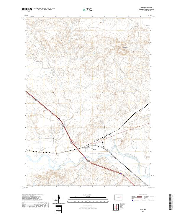
Loading map...2021 Map of Orin
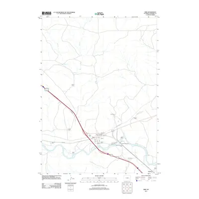
USGS Topo · Published 2021About this map
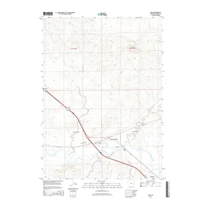
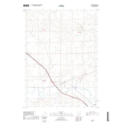
The North Platte River winds through this section of Converse County, marking a corridor of historical transit and settlement. At the river's bend, the site of the James Bridger Ferry and the nearby Bridger Xing reflect the area's legacy as a crossing point for early travelers. The small community of Orin sits at a strategic junction where Orin Way, Irvine Rd, and 2nd St converge near the water.
Find a feature on this map
19 named features on this map. Tap any name to fly to it.
Don’t see what you’re looking for? This feature index may not catch every label — zoom into the map to look around manually.
Map Details
Date Portrayed2021
Date Published2021
PublisherU.S. Geological Survey
Map TypeTopographic
Scale1:24,000
Physical Dimensions24 x 29 inches
Editions of this 2021 Orin Map
This is the sole edition of this map. No revisions or reprints were ever made.
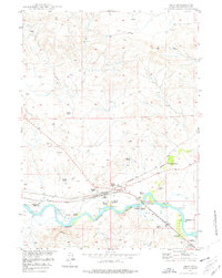
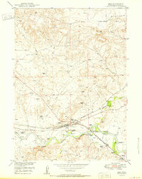
Historical Maps of Orin Junction Through Time
6 maps found
Featured Locations
Source Details
SourceU.S. Geological Survey
CopyrightPublic Domain