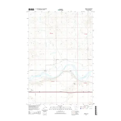
2014 Map of Orinoco
USGS Topo · Published 2014About this map
The Yellowstone River cuts a wide, meandering path through this Rosebud County landscape, serving as the primary geographical anchor for the small settlements of Orinoco and Flynn. The topography is defined by the contrast between the fertile river bottom and the rising breaks of Wildcat Coulee. North of the river, drainage patterns are established by Little Porcupine Cr and Horse Cr, which flow through a network of sections defined by the Public Land Survey System. Transport and accessibility in this rural corridor are maintained by Cartersville Rd and Frontage Rd, which parallel the water and rail lines. Modern aviation infrastructure is represented by Tillitt Field Airport in the southwestern quadrant, while the surrounding territory remains characterized by open ranchland and intermittent watercourses like Dry Cr.
Find a feature on this map
16 named features on this map. Tap any name to fly to it.
Don’t see what you’re looking for? This feature index may not catch every label — zoom into the map to look around manually.
Map Details
Editions of this 2014 Orinoco Map
This is the sole edition of this map. No revisions or reprints were ever made.
Other maps of this area
1954 · Forsyth
USGS Topo · 1:250,000
1957 · Forsyth
USGS Topo · 1:250,000
1958 · Forsyth
USGS Topo · 1:250,000
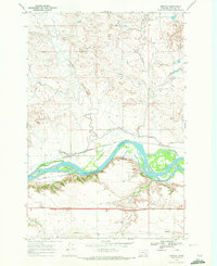
1968 · Orinoco
USGS Topo · 1:24,000
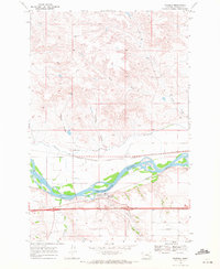
1968 · Rosebud
USGS Topo · 1:24,000
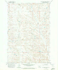
1968 · Box Canyon Coulee
USGS Topo · 1:24,000
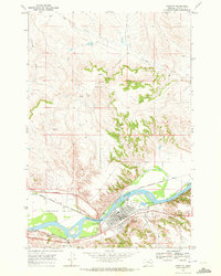
1968 · Forsyth
USGS Topo · 1:24,000
1968 · Schultz Coulee
USGS Topo · 1:24,000
1968 · Black Coulee
USGS Topo · 1:24,000
1971 · Smith Creek NE
USGS Topo · 1:24,000