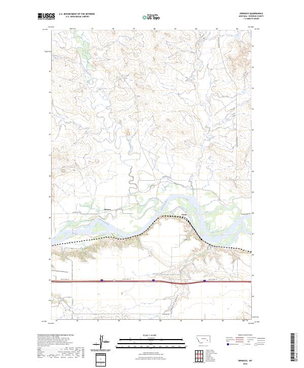
2024 Map of Orinoco
USGS Topo · Published 2024About this map
The Yellowstone River winds through this Rosebud County landscape, serving as the central geographic feature for the small communities of Orinoco and Flynn. The terrain is defined by the alluvial flats of the river valley, which are framed by the drainages of Little Porcupine Creek and Horse Creek to the north and the deep incision of Wildcat Coulee to the south.
Find a feature on this map
15 named features on this map. Tap any name to fly to it.
Don’t see what you’re looking for? This feature index may not catch every label — zoom into the map to look around manually.
Map Details
Editions of this 2024 Orinoco Map
This is the sole edition of this map. No revisions or reprints were ever made.
Other maps of this area

1954 · Forsyth
USGS Topo · 1:250,000

1957 · Forsyth
USGS Topo · 1:250,000

1958 · Forsyth
USGS Topo · 1:250,000

1968 · Orinoco
USGS Topo · 1:24,000

1968 · Rosebud
USGS Topo · 1:24,000

1968 · Box Canyon Coulee
USGS Topo · 1:24,000

1968 · Forsyth
USGS Topo · 1:24,000

1968 · Schultz Coulee
USGS Topo · 1:24,000

1968 · Black Coulee
USGS Topo · 1:24,000

1971 · Smith Creek NE
USGS Topo · 1:24,000