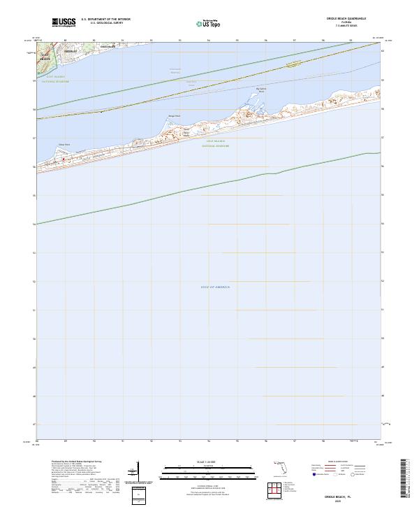
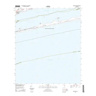
2025 Map of Oriole Beach
USGS Topo · Published 2025About this map
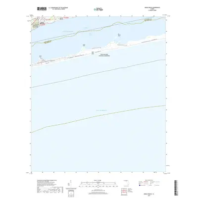
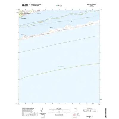
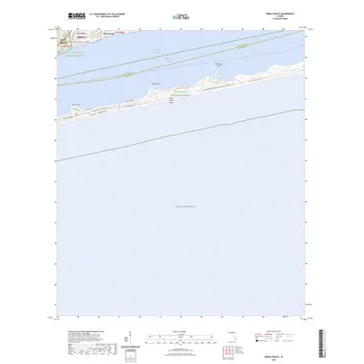
Santa Rosa Island and the mainland communities of Gulf Breeze and Midway anchor this modern survey of the Florida Panhandle's coastline. The map details the thin barrier island environment protected within the Gulf Islands National Seashore, where the Florida National Scenic Trl and Beach Walk Trl traverse the dunes. The landscape is defined by the narrow waters of Santa Rosa Sound and the busy Intracoastal Waterway, separating the residential developments of Oriole Beach from the offshore sands. Coastal geography is marked by distinct landforms such as Sharp Point, Range Point, and Big Sabine Point. A network of local roads, including Via De Luna Dr and State Highway 399, provides access across the shifting terrain between the sound and the open Gulf of America.
Find a feature on this map
26 named features on this map. Tap any name to fly to it.
Don’t see what you’re looking for? This feature index may not catch every label — zoom into the map to look around manually.
Map Details
Editions of this 2025 Oriole Beach Map
This is the sole edition of this map. No revisions or reprints were ever made.
Historical Maps of Oriole Beach Through Time
8 maps found
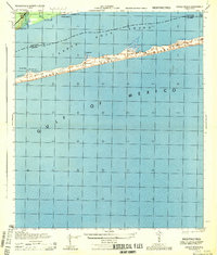
1944 Oriole Beach
Santa Rosa County, FL
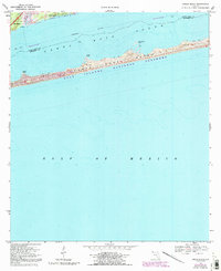
1969 Oriole Beach
Santa Rosa County, FL
2012 Oriole Beach
Santa Rosa County, FL
2015 Oriole Beach
Santa Rosa County, FL
2018 Oriole Beach
Santa Rosa County, FL
2021 Oriole Beach
Santa Rosa County, FL
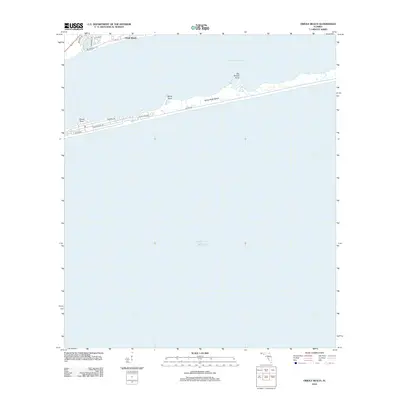
2024 Oriole Beach
Santa Rosa County, FL
2025 Oriole Beach
Santa Rosa County, FL