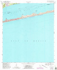
1969 Map of Oriole Beach
USGS Topo · Published 1992About this map
Oriole Beach and the eastern edge of Gulf Breeze are the primary settlements shown along the mainland shoreline in the late 1960s. This survey, later updated in the early 1990s, documents the coastal landscape where residential growth meets the preserved stretches of the Gulf Islands National Seashore. The geography is defined by the narrow barrier of Santa Rosa Island, separated from the mainland by the Santa Rosa Sound. Along the barrier beach, Via De Luna serves as the main transportation artery through the dunes.
Find a feature on this map
16 named features on this map. Tap any name to fly to it.
Don’t see what you’re looking for? This feature index may not catch every label — zoom into the map to look around manually.
Map Details
Editions of this 1969 Oriole Beach Map
4 editions found
Other maps of this area

1921 · Holley
USGS Topo · 1:62,500

1921 · Pensacola
USGS Topo · 1:62,500

1936 · Holley
USGS Topo · 1:48,000

1938 · Holley
USGS Topo · 1:62,500

1941 · Pensacola
USGS Topo · 1:62,500

1942 · Pensacola
USGS Topo · 1:62,500
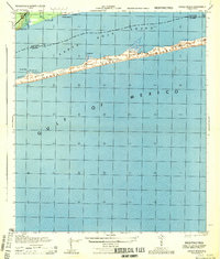
1944 · Oriole Beach
USGS Topo · 1:25,000

1944 · Gulf Breeze
USGS Topo · 1:25,000
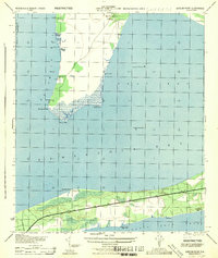
1944 · Garcon Point
USGS Topo · 1:25,000
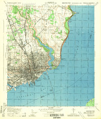
1944 · Pensacola
USGS Topo · 1:25,000