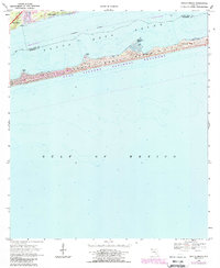
1969 Map of Oriole Beach
USGS Topo · Published 1988About this map
Santa Rosa Island stretches across this coastal survey, forming a protective barrier between the Gulf of Mexico and the mainland. The landscape is defined by extensive sand dunes and several prominent coastal landmarks including Sharp Point, Range Point, and Big Sabine Point. Along the northern shore of the Santa Rosa Sound, the settlements of Gulf Breeze and Oriole Beach show established residential patterns near the water's edge. Much of the island's central and eastern portions are preserved as part of the Gulf Islands National Seashore, maintaining the natural character of the shoreline. The inclusion of Via De Luna indicates early infrastructure development providing access across the barrier island during the late 1960s and 1980s revision period.
Find a feature on this map
15 named features on this map. Tap any name to fly to it.
Don’t see what you’re looking for? This feature index may not catch every label — zoom into the map to look around manually.
Map Details
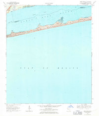
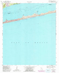
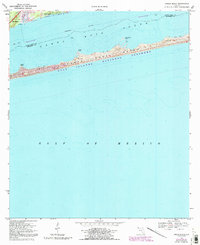
Editions of this 1969 Oriole Beach Map
4 editions found
Other maps of this area

1921 · Holley
USGS Topo · 1:62,500

1921 · Pensacola
USGS Topo · 1:62,500

1936 · Holley
USGS Topo · 1:48,000

1938 · Holley
USGS Topo · 1:62,500

1941 · Pensacola
USGS Topo · 1:62,500

1942 · Pensacola
USGS Topo · 1:62,500
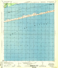
1944 · Oriole Beach
USGS Topo · 1:25,000

1944 · Gulf Breeze
USGS Topo · 1:25,000
1944 · Garcon Point
USGS Topo · 1:25,000
1944 · Pensacola
USGS Topo · 1:25,000