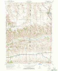
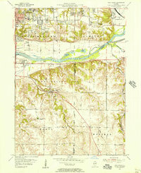
1953 Map of Orion
USGS Topo · Published 1971About this map
Orion and the neighboring agricultural settlements of Sherrard and Swedona anchor this landscape during the mid-twentieth century. The area is defined by the crossing of three Illinois counties—Rock Island, Mercer, and Henry—creating a hub of rural civic and religious life. Local history and genealogy are deeply rooted here, evidenced by the distribution of small country schools like the Rural Town Hall School, Caughey School, and Bartlett School, alongside gathering places such as Beulah Church.
Find a feature on this map
31 named features on this map. Tap any name to fly to it.
Don’t see what you’re looking for? This feature index may not catch every label — zoom into the map to look around manually.
Map Details
Editions of this 1953 Orion Map
3 editions found
Other maps of this area

1912 · Milan
USGS Topo · 1:62,500

1923 · Alexis
USGS Topo · 1:62,500

1925 · Alexis
USGS Topo · 1:62,500

1937 · Orion
USGS Topo · 1:62,500

1944 · Milan
USGS Topo · 1:62,500

1947 · Woodhull
USGS Topo · 1:62,500
1948 · Milan
USGS Topo · 1:24,000

1949 · Coal Valley
USGS Topo · 1:24,000

1950 · Milan
USGS Topo · 1:24,000
1953 · Coal Valley
USGS Topo · 1:24,000