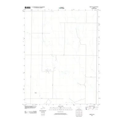
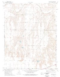
2009 Map of Orion SE
USGS Topo · Published 2009About this map
The Smoky Hill River flows along the southern edge of this Western Kansas landscape, joined by the winding course of Plum Creek as it moves through Gove County. This part of the High Plains is defined by a sparse but organized grid of rural roads, including Gove E and Gove 32, which connect isolated centers of local activity. Evidence of the region’s immigrant history is preserved at the Swedish Lutheran Cemetery, a notable landmark for genealogists researching the area's early settlers. Economic activity is centered around the Lundgren Oil Field, which sits north of the river. Apart from State Hwy 23 running along the eastern boundary, the map shows a quiet, agrarian environment where natural drainage patterns and section-line roads dictate the layout of the land.
Find a feature on this map
14 named features on this map. Tap any name to fly to it.
Don’t see what you’re looking for? This feature index may not catch every label — zoom into the map to look around manually.
Map Details
Editions of this 2009 Orion SE Map
This is the sole edition of this map. No revisions or reprints were ever made.
Other maps of this area

1955 · Scott City
USGS Topo · 1:250,000

1958 · Scott City
USGS Topo · 1:250,000
1972 · Orion NE
USGS Topo · 1:24,000
1972 · Gove
USGS Topo · 1:24,000
1972 · Orion
USGS Topo · 1:24,000
1974 · Cheyenne Creek
USGS Topo · 1:24,000
1974 · Gove SW
USGS Topo · 1:24,000
1974 · Orion SE
USGS Topo · 1:24,000
1974 · Healy NW
USGS Topo · 1:24,000
1974 · Shields NW
USGS Topo · 1:24,000