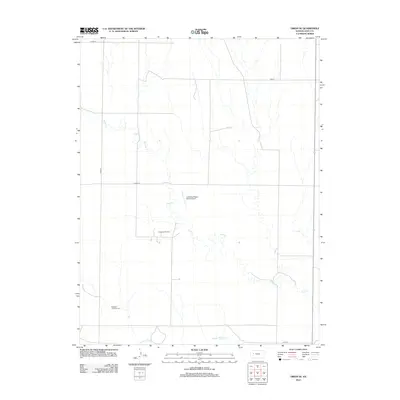
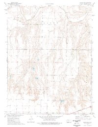
2012 Map of Orion SE
USGS Topo · Published 2012About this map
The Smoky Hill River flows along the southern edge of this western Kansas landscape, where the prairie topography is defined by the winding course of Plum Cr and its various tributaries. This 2012 survey illustrates a region where agriculture and resource extraction coexist, notably at the Lundgren Oil Field and the nearby Lundgren Angus Ranch Airport. These features, alongside local thoroughfares like Co Rd 470 and Gove M, reflect the modern rural infrastructure of Gove County. For those tracing local heritage, the Swedish Lutheran Cem stands as a significant landmark in the southwestern corner, offering a concrete connection to the area's early settlement history and the Swedish immigrant communities that established roots on the High Plains.
Find a feature on this map
11 named features on this map. Tap any name to fly to it.
Don’t see what you’re looking for? This feature index may not catch every label — zoom into the map to look around manually.
Map Details
Editions of this 2012 Orion SE Map
This is the sole edition of this map. No revisions or reprints were ever made.
Other maps of this area

1955 · Scott City
USGS Topo · 1:250,000

1958 · Scott City
USGS Topo · 1:250,000
1972 · Orion NE
USGS Topo · 1:24,000
1972 · Gove
USGS Topo · 1:24,000
1972 · Orion
USGS Topo · 1:24,000
1974 · Cheyenne Creek
USGS Topo · 1:24,000
1974 · Gove SW
USGS Topo · 1:24,000
1974 · Orion SE
USGS Topo · 1:24,000
1974 · Healy NW
USGS Topo · 1:24,000
1974 · Shields NW
USGS Topo · 1:24,000