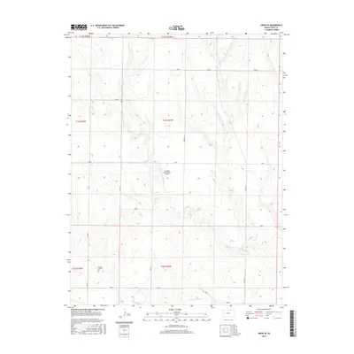
2015 Map of Orion SE
USGS Topo · Published 2015About this map
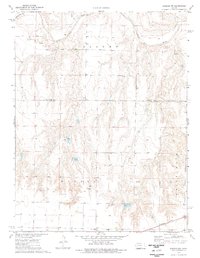
The Smoky Hill River meanders across the southern portion of this Gove County landscape, marking the lower reaches of a terrain defined by the intermittent drainages of Plum Cr. This area of western Kansas shows a structured grid of rural access roads, including Gove L and Gove I, which facilitate movement between large agricultural tracts. A notable site for genealogists and local historians is the Swedish Lutheran Cem located in the southwestern corner, a quiet marker of the region’s early Scandinavian settlement patterns and community heritage. In the central section, the Lundgren Angus Ranch Airport provides a distinct landmark of modern aviation integrated with ranching life, while the surrounding survey boundaries delineate the townships of Gove County as they appeared in 2015.
Find a feature on this map
17 named features on this map. Tap any name to fly to it.
Don’t see what you’re looking for? This feature index may not catch every label — zoom into the map to look around manually.
Map Details
Editions of this 2015 Orion SE Map
This is the sole edition of this map. No revisions or reprints were ever made.
Other maps of this area

1955 · Scott City
USGS Topo · 1:250,000

1958 · Scott City
USGS Topo · 1:250,000
1972 · Orion NE
USGS Topo · 1:24,000
1972 · Gove
USGS Topo · 1:24,000
1972 · Orion
USGS Topo · 1:24,000
1974 · Cheyenne Creek
USGS Topo · 1:24,000
1974 · Gove SW
USGS Topo · 1:24,000
1974 · Orion SE
USGS Topo · 1:24,000
1974 · Healy NW
USGS Topo · 1:24,000
1974 · Shields NW
USGS Topo · 1:24,000