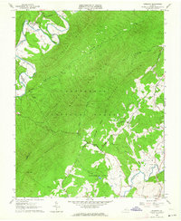
1962 Map of Oriskany
USGS Topo · Published 1964About this map
Oriskany sits along the bend of Craig Creek, serving as a focal point for this rugged portion of the Jefferson National Forest in the early 1960s. The landscape is defined by the steep ridges of Patterson Mountain and Caldwell Mountain, where the legacy of earlier transportation is visible in the Craig Railroad Grade tracing the river's path. This former rail line once connected the remote iron-ore communities of Botetourt and Craig counties to wider markets.
Find a feature on this map
46 named features on this map. Tap any name to fly to it.
Don’t see what you’re looking for? This feature index may not catch every label — zoom into the map to look around manually.
Map Details
Editions of this 1962 Oriskany Map
3 editions found
Other maps of this area

1887 · Lewisburg
USGS Topo · 1:125,000

1890 · Roanoke
USGS Topo · 1:125,000

1890 · Christiansburg
USGS Topo · 1:125,000

1891 · Roanoke
USGS Topo · 1:125,000

1891 · Lewisburg
USGS Topo · 1:125,000

1894 · Natural Bridge
USGS Topo · 1:125,000

1913 · Eagle Rock
USGS Topo · 1:48,000

1915 · Eagle Rock
USGS Topo · 1:62,500

1929 · Roanoke
USGS Topo · 1:48,000

1929 · Salem
USGS Topo · 1:48,000