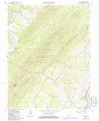
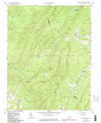
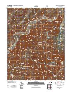
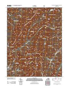
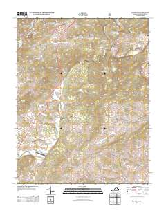
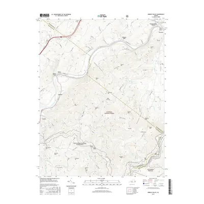
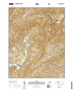
1962 Map of Oriskany
USGS Topo · Published 1986About this map
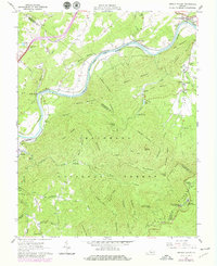
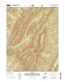
Craig Creek and Catawba Creek dominate the drainage of this Virginia landscape, where steep ridgelines like Patterson Mountain and Caldwell Mountain divide the remote hollows of Jefferson National Forest. The map reflects a rural economy shaped by these physical barriers, with small settlements like Oriskany and Howell Mills situated along the narrow valley floors. Genealogists will find significant local data in the distribution of family burial grounds, including McKalester Cem and Anderson Cem, as well as cornerstones of the community like King Memorial Ch and Mt Pleasant Ch. A notable infrastructure feature is the Pipeline that cuts across the terrain of Switzer Mountain, representing twentieth-century utility expansion through these long-established mountain gaps. The southern boundary reaches the historic town of Fincastle, illustrating the connection between the rugged backcountry and the county seat.
Find a feature on this map
41 named features on this map. Tap any name to fly to it.
Don’t see what you’re looking for? This feature index may not catch every label — zoom into the map to look around manually.
Map Details
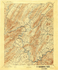
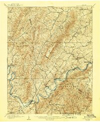
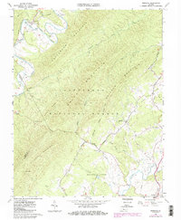
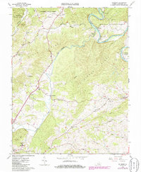
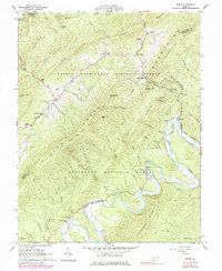
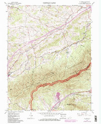
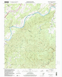
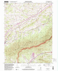
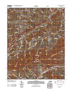
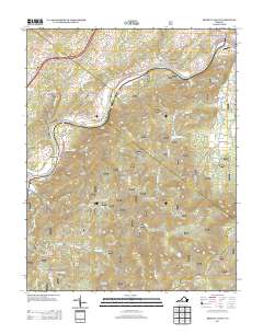
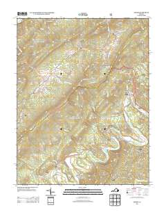
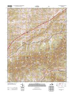
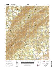
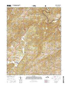
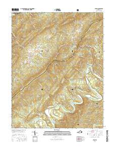
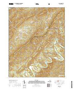
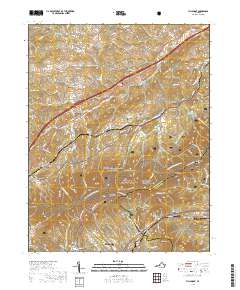
Editions of this 1962 Oriskany Map
3 editions found
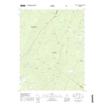
Historical Maps of Fincastle Through Time
41 maps found

1894 Natural Bridge
Botetourt County, VA
1894 Rockbridge
Botetourt County, VA
1907 Natural Bridge
Botetourt County, VA
1961 Arnold Valley
Botetourt County, VA
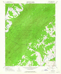
1962 Oriskany
Botetourt County, VA
1962 Salisbury
Botetourt County, VA
1962 Strom
Botetourt County, VA
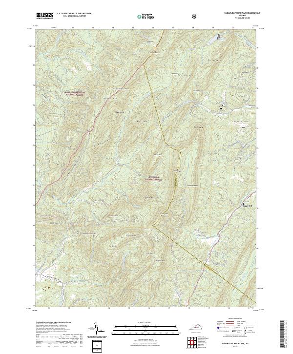
1962 Sugarloaf Mtn
Botetourt County, VA
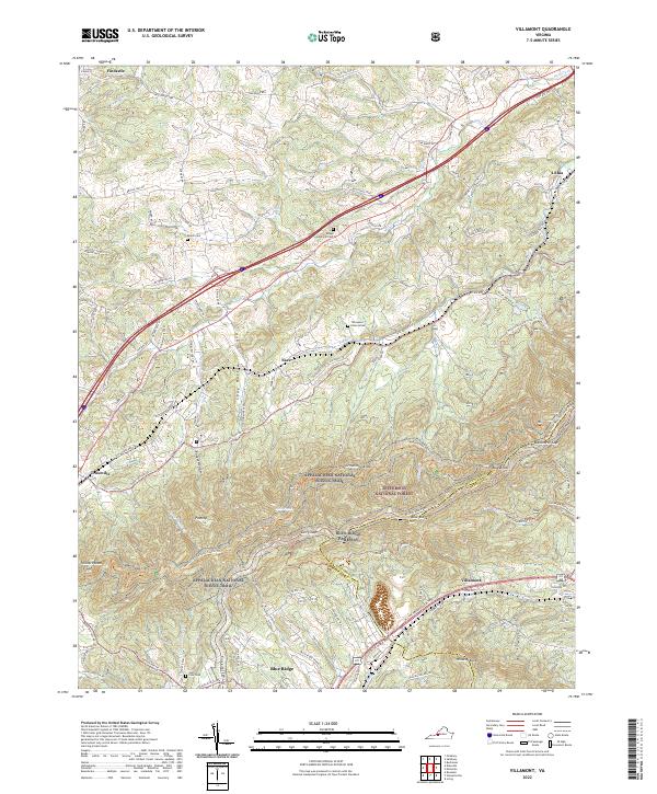
1963 Villamont
Botetourt County, VA
1999 Arnold Valley
Botetourt County, VA
1999 Villamont
Botetourt County, VA
2011 Arnold Valley
Botetourt County, VA
2011 Oriskany
Botetourt County, VA
2011 Salisbury
Botetourt County, VA
2011 Strom
Botetourt County, VA
2011 Sugarloaf Mountain
Botetourt County, VA
2011 Villamont
Botetourt County, VA
2013 Arnold Valley
Botetourt County, VA
2013 Oriskany
Botetourt County, VA
2013 Salisbury
Botetourt County, VA
2013 Strom
Botetourt County, VA
2013 Sugarloaf Mountain
Botetourt County, VA
2013 Villamont
Botetourt County, VA
2016 Arnold Valley
Botetourt County, VA
2016 Oriskany
Botetourt County, VA
2016 Salisbury
Botetourt County, VA
2016 Strom
Botetourt County, VA
2016 Sugarloaf Mountain
Botetourt County, VA
2016 Villamont
Botetourt County, VA
2019 Arnold Valley
Botetourt County, VA
2019 Oriskany
Botetourt County, VA
2019 Salisbury
Botetourt County, VA
2019 Strom
Botetourt County, VA
2019 Sugarloaf Mountain
Botetourt County, VA
2019 Villamont
Botetourt County, VA
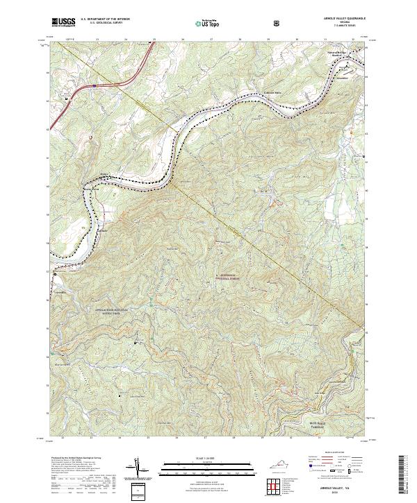
2022 Arnold Valley
Botetourt County, VA
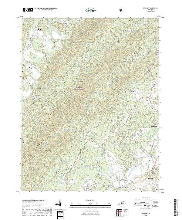
2022 Oriskany
Botetourt County, VA
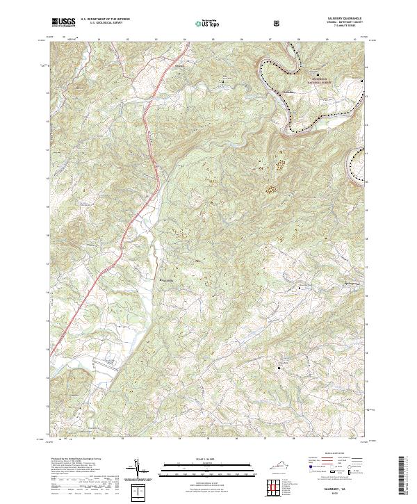
2022 Salisbury
Botetourt County, VA
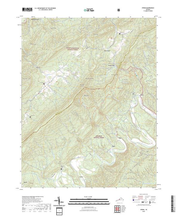
2022 Strom
Botetourt County, VA
2022 Sugarloaf Mountain
Botetourt County, VA
2022 Villamont
Botetourt County, VA