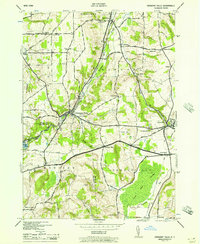
1944 Map of Oriskany Falls
USGS Topo · Published 1957About this map
The industrial and agricultural heritage of the Upper Susquehanna and Mohawk watersheds meets at Oriskany Falls, where the Chenango Canal (Abandoned) follows the course of Oriskany Creek. By the mid-1940s, the landscape was defined by its railroad infrastructure, including the New York Ontario and Western RR and the Delaware Lackawanna and Western RR, which connected the local valley settlements. The terrain transitions from the low-lying Nine Mile Swamp in the southeast to prominent elevations like Sanger Hill and Grant Hill.
Find a feature on this map
52 named features on this map. Tap any name to fly to it.
Don’t see what you’re looking for? This feature index may not catch every label — zoom into the map to look around manually.
Map Details
Editions of this 1944 Oriskany Falls Map
2 editions found
Other maps of this area

1895 · Oriskany
USGS Topo · 1:62,500

1895 · Oneida
USGS Topo · 1:62,500

1898 · Oneida
USGS Topo · 1:62,500

1898 · Oriskany
USGS Topo · 1:62,500

1902 · Morrisville
USGS Topo · 1:62,500

1902 · Oneida
USGS Topo · 1:62,500

1907 · Sangerfield
USGS Topo · 1:62,500

1939 · Oneida
USGS Topo · 1:62,500

1943 · Hubbardsville
USGS Topo · 1:24,000

1943 · Cassville
USGS Topo · 1:24,000