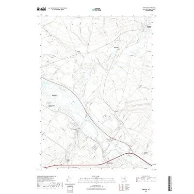
2019 Map of Oriskany
USGS Topo · Published 2019About this map
The Oriskany Battle Monument and the nearby Unknown Soldier Monument stand as prominent commemorative landmarks in this section of the Mohawk Valley. This 2019 survey documents the enduring physical legacy of the Erie Canal and the Mohawk River, which continue to dictate the placement of transportation corridors and settlements like Whitesboro and Oriskany. The map reveals a transition from the urban-industrial character of eastern Rome to the agricultural uplands where old community identifiers like Townsend Cem and Floyd Cem remain. The persistent identification of places like Colemans Mills and Holland Patent highlights the deep roots of 19th-century settlement patterns in modern-day Oneida County. Local drainage is defined by numerous waterways including Ninemile Creek and Oriskany Creek, which have historically driven the development of villages such as Stittville and Oriskany Valley.
Find a feature on this map
103 named features on this map. Tap any name to fly to it.
Don’t see what you’re looking for? This feature index may not catch every label — zoom into the map to look around manually.
Map Details
Editions of this 2019 Oriskany Map
This is the sole edition of this map. No revisions or reprints were ever made.
Other maps of this area

1895 · Oriskany
USGS Topo · 1:62,500

1897 · Remsen
USGS Topo · 1:62,500

1898 · Utica
USGS Topo · 1:62,500

1898 · Oriskany
USGS Topo · 1:62,500

1900 · Utica
USGS Topo · 1:62,500

1900 · Remsen
USGS Topo · 1:62,500

1904 · Boonville
USGS Topo · 1:62,500

1943 · Utica East
USGS Topo · 1:24,000
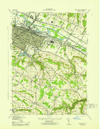
1945 · Utica East
USGS Topo · 1:31,680
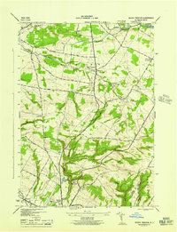
1945 · South Trenton
USGS Topo · 1:31,680