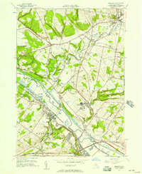
1955 Map of Oriskany
USGS Topo · Published 1957About this map
The Mohawk River corridor serves as the industrial and transportation backbone of this mid-1950s landscape, where the historic Erie Canal and New York Central Railroad run parallel through Oriskany and Whitesboro. This era is marked by the coexistence of traditional river-town life and the expanding infrastructure of the mid-century, evidenced by the presence of both the Oneida County Airport and the Utica Municipal Airport within a few miles of each other.
Find a feature on this map
56 named features on this map. Tap any name to fly to it.
Don’t see what you’re looking for? This feature index may not catch every label — zoom into the map to look around manually.
Map Details
Editions of this 1955 Oriskany Map
2 editions found
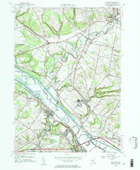
Other maps of this area

1895 · Oriskany
USGS Topo · 1:62,500

1897 · Remsen
USGS Topo · 1:62,500

1898 · Utica
USGS Topo · 1:62,500

1898 · Oriskany
USGS Topo · 1:62,500

1900 · Utica
USGS Topo · 1:62,500

1900 · Remsen
USGS Topo · 1:62,500

1904 · Boonville
USGS Topo · 1:62,500

1943 · Utica East
USGS Topo · 1:24,000
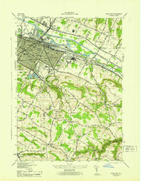
1945 · Utica East
USGS Topo · 1:31,680
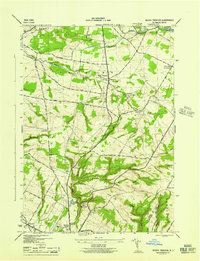
1945 · South Trenton
USGS Topo · 1:31,680