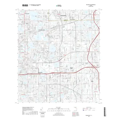
2018 Map of Orlando East
USGS Topo · Published 2018About this map
Winter Park and Maitland define the northern portion of this landscape, where a dense network of lakes like Lake Maitland, Lake Osceola, and Lake Mizell creates a unique urban-lakefront geography. The area is a major educational hub, featuring the campus of Rollins College and multiple sites for Valencia College. The map captures the complex municipal boundaries between Orlando, Casselberry, and Azalea Park, as well as the transition into Seminole County to the north.
Find a feature on this map
152 named features on this map. Tap any name to fly to it.
Don’t see what you’re looking for? This feature index may not catch every label — zoom into the map to look around manually.
Map Details
Editions of this 2018 Orlando East Map
This is the sole edition of this map. No revisions or reprints were ever made.
Other maps of this area

1953 · Lake Jessamine
USGS Topo · 1:24,000

1953 · Pine Castle
USGS Topo · 1:24,000

1953 · Oviedo SW
USGS Topo · 1:24,000

1953 · Narcoossee NW
USGS Topo · 1:24,000

1955 · Orlando
USGS Topo · 1:250,000

1956 · Oviedo
USGS Topo · 1:24,000

1956 · Orlando West
USGS Topo · 1:24,000

1956 · Orlando East
USGS Topo · 1:24,000

1957 · Orlando
USGS Topo · 1:250,000

1958 · Orlando
USGS Topo · 1:250,000