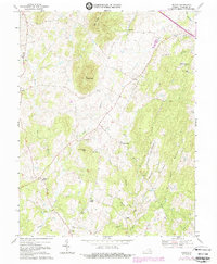
1970 Map of Orlean
USGS Topo · Published 1988About this map
The agrarian highlands of Big Cobbler Mtn and Little Cobbler Mtn dominate this 1970 snapshot of Fauquier County, where the settlement pattern follows the intricate drainage of Thumb Run and Carter Run. At this time, the landscape was a mosaic of woodlots and fields, many bounded by the fine red dashed lines indicating fence and field lines visible on aerial photography. Small communities like Orlean and Hume serve as local hubs, anchored by spiritual centers such as Leeds Ch and Mount Nebo Ch. Evidence of early commerce and local industry remains in the form of Jerrys Shop, Wilsons Store, and the site of Vernon Mills. The Southern rail line cuts through the northeastern corner near Morgantown, while numerous family cemeteries (marked Cem) are scattered across the slopes of Swains Mountain and Thumb Run Mtn, providing a rich resource for genealogical research.
Find a feature on this map
33 named features on this map. Tap any name to fly to it.
Don’t see what you’re looking for? This feature index may not catch every label — zoom into the map to look around manually.
Map Details
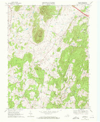
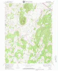
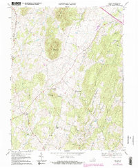
Editions of this 1970 Orlean Map
4 editions found
Other maps of this area

1893 · Luray
USGS Topo · 1:125,000

1894 · Warrenton
USGS Topo · 1:125,000

1894 · Warrenton
USGS Topo · 1:62,500

1905 · Luray
USGS Topo · 1:125,000

1927 · Remington
USGS Topo · 1:48,000

1930 · Warrenton
USGS Topo · 1:62,500

1939 · Front Royal
USGS Topo · 1:48,000

1943 · Orlean
USGS Topo · 1:24,000

1943 · Marshall
USGS Topo · 1:24,000

1943 · Upperville
USGS Topo · 1:24,000