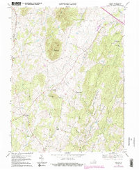
1970 Map of Orlean
USGS Topo · Published 1988About this map
Big Cobbler Mtn and Little Cobbler Mtn dominate this portion of Fauquier County, anchoring a landscape where small rural settlements are tied together by a web of narrow runs and mountain branches. The topography reveals a pattern of dispersed crossroad communities like Hume and Orlean, each serving as a local hub for the surrounding agricultural valleys. The Southern railroad cuts through the northeastern corner near Morgantown, while numerous rural sanctuaries such as Leeds Ch and Mount Nebo Ch mark the spiritual and social centers of these Piedmont townships. Throughout the survey, family-named landmarks and small commercial points like Jerrys Shop and Wilsons Store provide a detailed look at the rural economy before modern suburban expansion began to reach this part of Virginia. Waterways such as Thumb Run and Carter Run define the drainage of the area, winding through the gaps between the prominent cobbler ridges.
Find a feature on this map
30 named features on this map. Tap any name to fly to it.
Don’t see what you’re looking for? This feature index may not catch every label — zoom into the map to look around manually.
Map Details
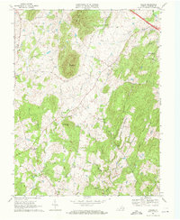
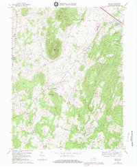
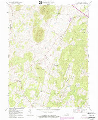
Editions of this 1970 Orlean Map
4 editions found
Other maps of this area

1893 · Luray
USGS Topo · 1:125,000

1894 · Warrenton
USGS Topo · 1:125,000

1894 · Warrenton
USGS Topo · 1:62,500

1905 · Luray
USGS Topo · 1:125,000

1927 · Remington
USGS Topo · 1:48,000

1930 · Warrenton
USGS Topo · 1:62,500

1939 · Front Royal
USGS Topo · 1:48,000

1943 · Orlean
USGS Topo · 1:24,000

1943 · Marshall
USGS Topo · 1:24,000

1943 · Upperville
USGS Topo · 1:24,000