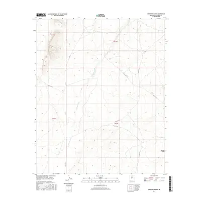
2017 Map of Orndorff Ranch
USGS Topo · Published 2017About this map
Orndorff Ranch occupies a prominent position in this high-desert landscape of Socorro County, New Mexico. The terrain is characterized by the winding path of Chupadera Arroyo, which snakes through the central and western portions of the quadrangle. This area, largely defined by ranching and restricted access corridors, features a network of rural routes including Co Rd 131 and various military-designated thoroughfares such as Wsmr S Route 3702 and Wsmr P Route 9.
Find a feature on this map
18 named features on this map. Tap any name to fly to it.
Don’t see what you’re looking for? This feature index may not catch every label — zoom into the map to look around manually.
Map Details
Editions of this 2017 Orndorff Ranch Map
This is the sole edition of this map. No revisions or reprints were ever made.
Other maps of this area
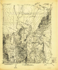
1916 · La Joya
USGS Topo · 1:125,000
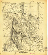
1918 · Oscura Peak
USGS Topo · 1:125,000
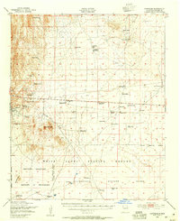
1948 · Carthage
USGS Topo · 1:62,500
1948 · Bingham
USGS Topo · 1:62,500

1954 · Tularosa
USGS Topo · 1:250,000

1954 · Socorro
USGS Topo · 1:250,000

1958 · Socorro
USGS Topo · 1:250,000

1958 · Tularosa
USGS Topo · 1:250,000
1962 · Socorro
USGS Topo · 1:250,000
1972 · Sierra Larga North
USGS Topo · 1:24,000