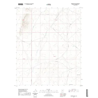
2020 Map of Orndorff Ranch
USGS Topo · Published 2020About this map
Chupadera Arroyo winds through this arid expanse of Socorro County, shaping the drainage patterns and topography of a landscape defined by ranching and restricted access. The presence of Orndorff Ranch in the northeast quadrant provides a focal point for local land use, while water resources like Little Jug Tank and the drainages of Mesa Well Canyon are critical features for navigation and agriculture. A complex network of designated routes, including Co Rd 131 and several White Sands Missile Range (WSMR) thoroughfares such as WSMR S Route 3702, crisscross the area. These roads illustrate the intersection of local transit and modern military infrastructure, providing a detailed look at the physical boundaries and thoroughfares within this high-desert environment in the 2020s.
Find a feature on this map
17 named features on this map. Tap any name to fly to it.
Don’t see what you’re looking for? This feature index may not catch every label — zoom into the map to look around manually.
Map Details
Editions of this 2020 Orndorff Ranch Map
This is the sole edition of this map. No revisions or reprints were ever made.
Other maps of this area
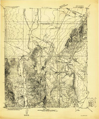
1916 · La Joya
USGS Topo · 1:125,000
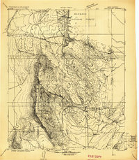
1918 · Oscura Peak
USGS Topo · 1:125,000
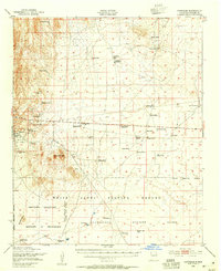
1948 · Carthage
USGS Topo · 1:62,500
1948 · Bingham
USGS Topo · 1:62,500

1954 · Tularosa
USGS Topo · 1:250,000

1954 · Socorro
USGS Topo · 1:250,000

1958 · Socorro
USGS Topo · 1:250,000

1958 · Tularosa
USGS Topo · 1:250,000
1962 · Socorro
USGS Topo · 1:250,000
1972 · Sierra Larga North
USGS Topo · 1:24,000