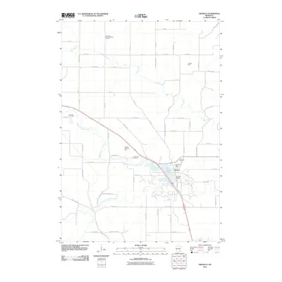
2010 Map of Oronoco
USGS Topo · Published 2010About this map
The Middle Fork Zumbro River defines the landscape of this region, winding through the heart of Oronoco where it widens into Shady Lake. This watercourse is punctuated by engineering works like the Hoehne Brothers Dam and the J Sibley Dam, reflecting a history of river management and local utility. To the south, the South Branch Middle Fork Zumbro River flows through a rural grid of section-line roads, while Dry Run Creek carves a path through the northern farmlands.
Find a feature on this map
60 named features on this map. Tap any name to fly to it.
Don’t see what you’re looking for? This feature index may not catch every label — zoom into the map to look around manually.
Map Details
Editions of this 2010 Oronoco Map
This is the sole edition of this map. No revisions or reprints were ever made.
Other maps of this area

1935 · Rochester
USGS Topo · 1:48,000

1939 · Rochester
USGS Topo · 1:62,500

1951 · Lake City
USGS Topo · 1:62,500

1953 · Saint Paul
USGS Topo · 1:250,000

1959 · Saint Paul
USGS Topo · 1:250,000

1965 · Oronoco
USGS Topo · 1:24,000

1965 · Byron
USGS Topo · 1:24,000

1965 · Pine Island
USGS Topo · 1:24,000

1966 · Douglas
USGS Topo · 1:24,000

1968 · Zumbrota
USGS Topo · 1:24,000