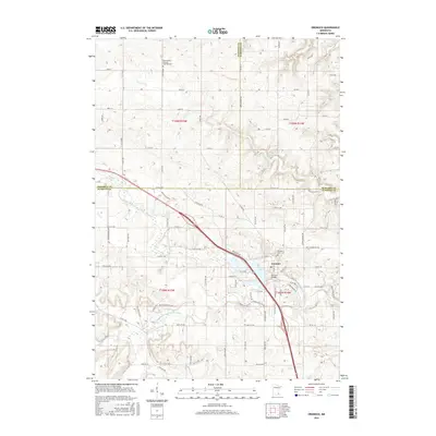
2016 Map of Oronoco
USGS Topo · Published 2016About this map
The Middle Fork Zumbro River defines the southern landscape of this 2016 survey, where the town of Oronoco sits at the confluence of several vital waterways. This area, located at the junction of Goodhue and Olmsted counties, features the prominent Shady Lake and the Oronoco Bridge which serves as a central crossing point. The terrain is deeply etched by secondary streams including Dry Run Cr and Plum Cr, illustrating the complex drainage patterns of the region.
Find a feature on this map
100 named features on this map. Tap any name to fly to it.
Don’t see what you’re looking for? This feature index may not catch every label — zoom into the map to look around manually.
Map Details
Editions of this 2016 Oronoco Map
This is the sole edition of this map. No revisions or reprints were ever made.
Other maps of this area
1935 · Rochester
USGS Topo · 1:48,000
1939 · Rochester
USGS Topo · 1:62,500
1951 · Lake City
USGS Topo · 1:62,500
1953 · Saint Paul
USGS Topo · 1:250,000
1959 · Saint Paul
USGS Topo · 1:250,000
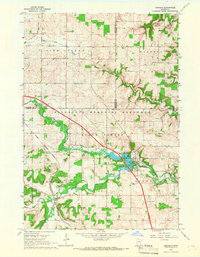
1965 · Oronoco
USGS Topo · 1:24,000
1965 · Byron
USGS Topo · 1:24,000
1965 · Pine Island
USGS Topo · 1:24,000
1966 · Douglas
USGS Topo · 1:24,000
1968 · Zumbrota
USGS Topo · 1:24,000