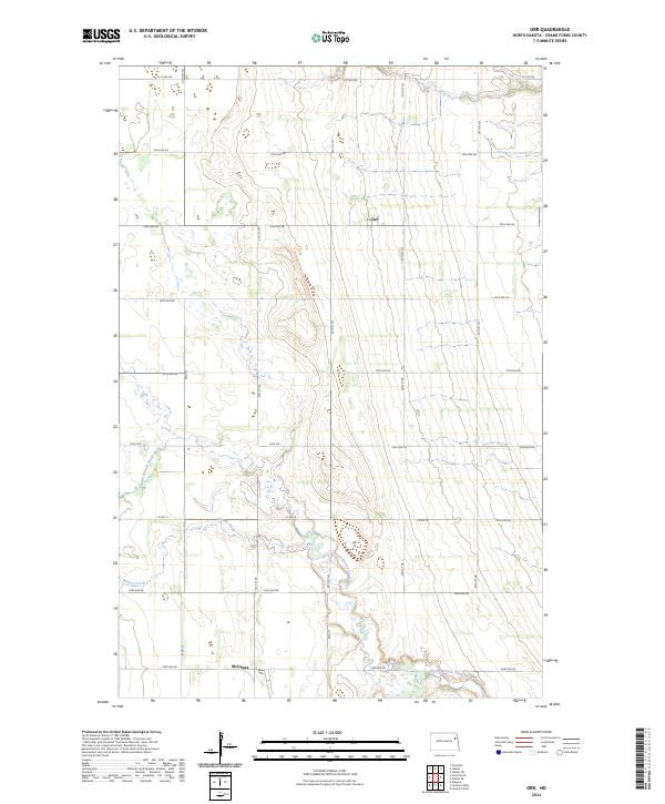
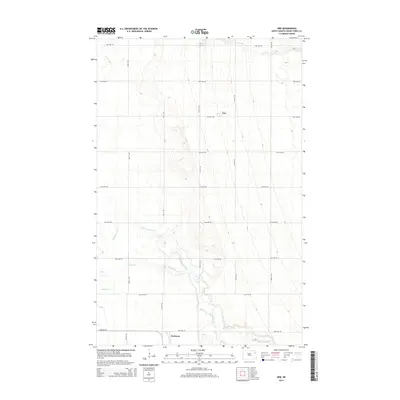
2024 Map of Orr
USGS Topo · Published 2024About this map
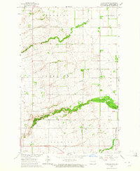
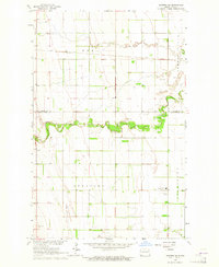
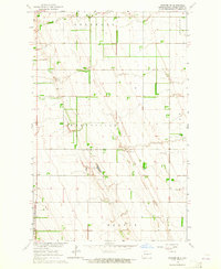
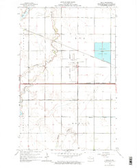
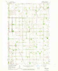
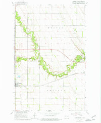
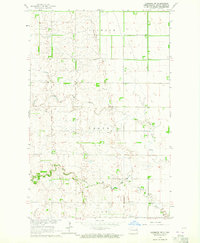
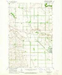
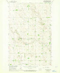
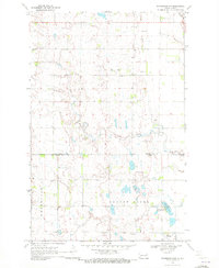
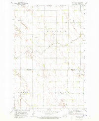
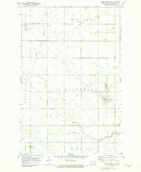
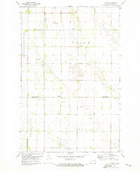
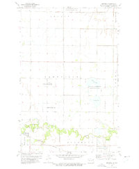
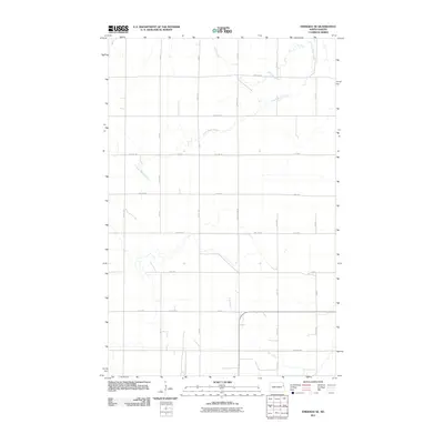
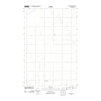
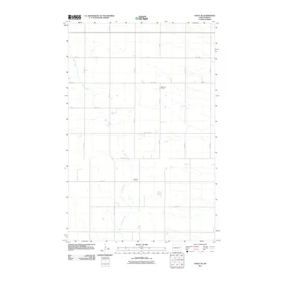
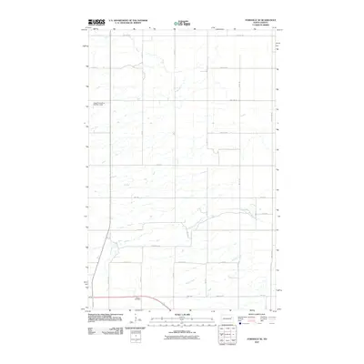
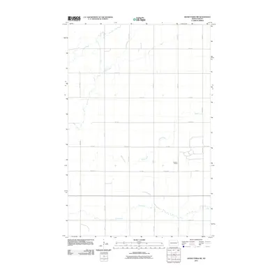
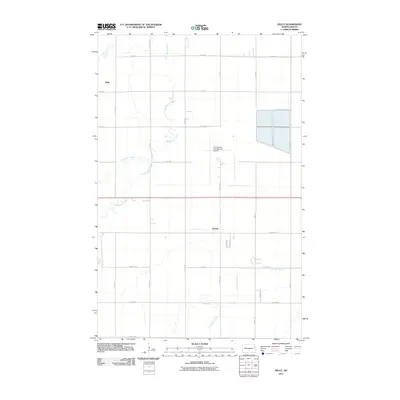
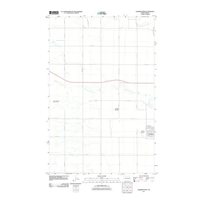
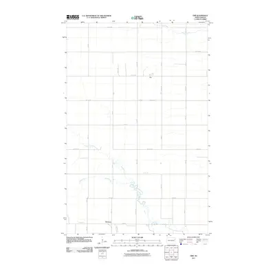
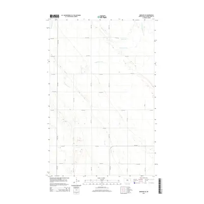
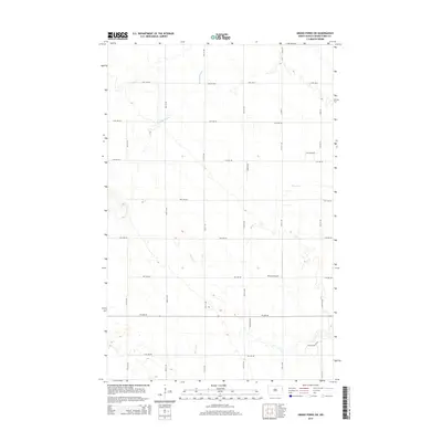
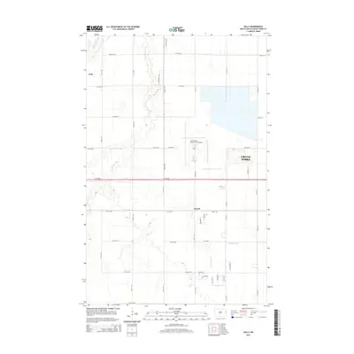
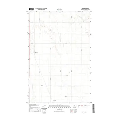
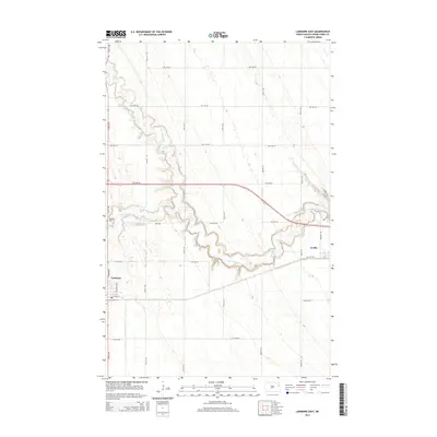
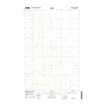
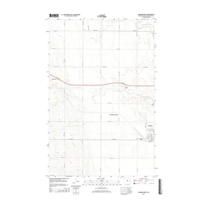
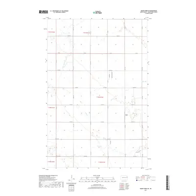
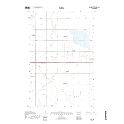
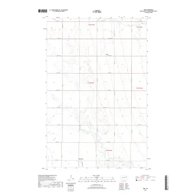
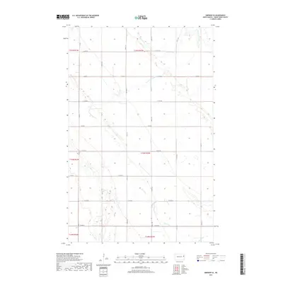
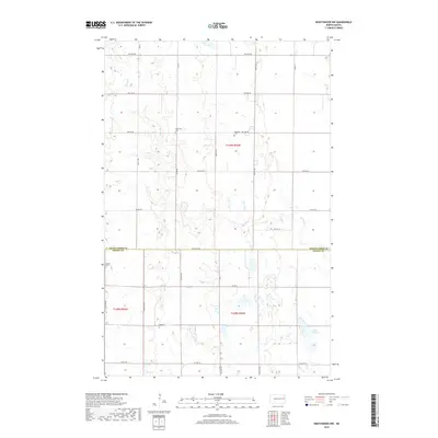
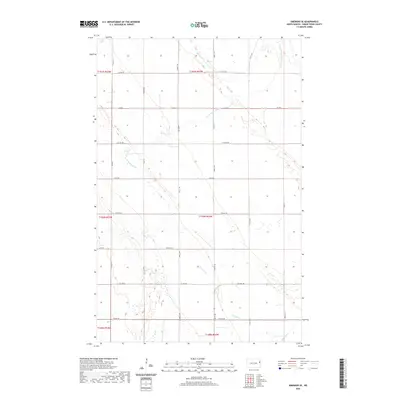
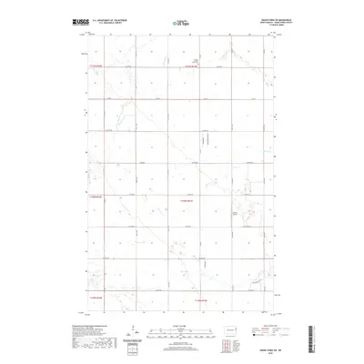
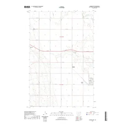
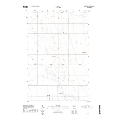
Orr and McCanna anchor this portion of the northern plains, reflecting the enduring agricultural grid of eastern North Dakota. The landscape is defined by the winding course of the North Branch Turtle River and its tributary, Whisky Creek, which cut across the geometric township lines. These waterways provide a natural counterpoint to the rigid sections of the Public Land Survey System, such as t153n r55w. A significant portion of the western terrain is dedicated to conservation at the Grand Forks County Waterfowl Production Area, a vital habitat in this prairie pothole region. The map reveals a dense network of local routes, including 30th Ave NE and 40th St NE, that facilitate the movement of goods and people between the small grain-handling settlements and the surrounding farmstead sections.
Find a feature on this map
27 named features on this map. Tap any name to fly to it.
Don’t see what you’re looking for? This feature index may not catch every label — zoom into the map to look around manually.
Map Details
Editions of this 2024 Orr Map
This is the sole edition of this map. No revisions or reprints were ever made.
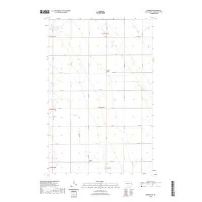
Historical Maps of Orr Through Time
120 maps found
1963 Arvilla
Grand Forks County, ND
1963 Emerado SE
Grand Forks County, ND
1963 Emerado SW
Grand Forks County, ND
1963 Fordville SE
Grand Forks County, ND
1963 Inkster NE
Grand Forks County, ND
1963 Inkster SE
Grand Forks County, ND
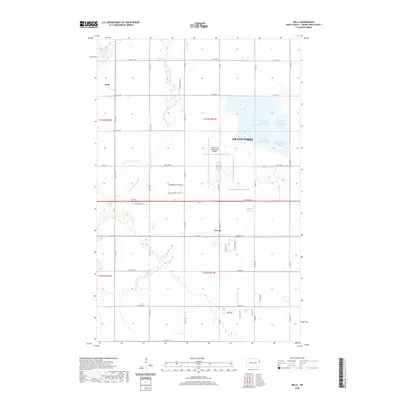
1963 Kelly
Grand Forks County, ND
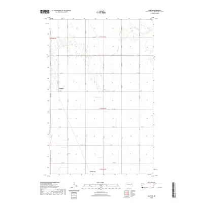
1963 Kempton
Grand Forks County, ND
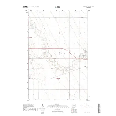
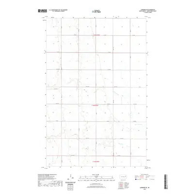
1963 Larimore East
Grand Forks County, ND
1963 Larimore SW
Grand Forks County, ND
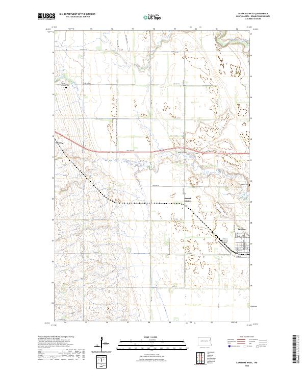
1963 Larimore West
Grand Forks County, ND
1963 Logan Center
Grand Forks County, ND
1963 Orr
Grand Forks County, ND
1964 Climax NW
Grand Forks County, ND
1967 Finley NE
Grand Forks County, ND
1970 Northwood NW
Grand Forks County, ND
1971 Buxton NW
Grand Forks County, ND
1971 Grand Forks SW
Grand Forks County, ND
1971 Holmes
Grand Forks County, ND
1973 Mekinock
Grand Forks County, ND
2011 Arvilla
Grand Forks County, ND
2011 Buxton NW
Grand Forks County, ND
2011 Climax NW
Grand Forks County, ND
2011 Emerado SE
Grand Forks County, ND
2011 Emerado SW
Grand Forks County, ND
2011 Finley NE
Grand Forks County, ND
2011 Fordville SE
Grand Forks County, ND
2011 Grand Forks SW
Grand Forks County, ND
2011 Holmes
Grand Forks County, ND
2011 Inkster NE
Grand Forks County, ND
2011 Inkster SE
Grand Forks County, ND
2011 Kelly
Grand Forks County, ND
2011 Kempton
Grand Forks County, ND
2011 Larimore East
Grand Forks County, ND
2011 Larimore SW
Grand Forks County, ND
2011 Larimore West
Grand Forks County, ND
2011 Logan Center
Grand Forks County, ND
2011 Mekinock
Grand Forks County, ND
2011 Northwood NW
Grand Forks County, ND
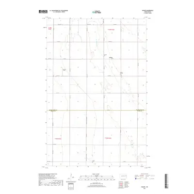
2011 Orr
Grand Forks County, ND
2014 Arvilla
Grand Forks County, ND
2014 Buxton NW
Grand Forks County, ND
2014 Climax NW
Grand Forks County, ND
2014 Emerado SE
Grand Forks County, ND
2014 Emerado SW
Grand Forks County, ND
2014 Finley NE
Grand Forks County, ND
2014 Fordville SE
Grand Forks County, ND
2014 Grand Forks SW
Grand Forks County, ND
2014 Holmes
Grand Forks County, ND
2014 Inkster NE
Grand Forks County, ND
2014 Inkster SE
Grand Forks County, ND
2014 Kelly
Grand Forks County, ND
2014 Kempton
Grand Forks County, ND
2014 Larimore East
Grand Forks County, ND
2014 Larimore SW
Grand Forks County, ND
2014 Larimore West
Grand Forks County, ND
2014 Logan Center
Grand Forks County, ND
2014 Mekinock
Grand Forks County, ND
2014 Northwood NW
Grand Forks County, ND
2014 Orr
Grand Forks County, ND
2017 Emerado SW
Grand Forks County, ND
2017 Finley NE
Grand Forks County, ND
2017 Fordville SE
Grand Forks County, ND
2017 Grand Forks SW
Grand Forks County, ND
2017 Holmes
Grand Forks County, ND
2017 Inkster NE
Grand Forks County, ND
2017 Inkster SE
Grand Forks County, ND
2017 Kelly
Grand Forks County, ND
2017 Larimore West
Grand Forks County, ND
2017 Logan Center
Grand Forks County, ND
2017 Mekinock
Grand Forks County, ND
2017 Orr
Grand Forks County, ND
2018 Arvilla
Grand Forks County, ND
2018 Buxton NW
Grand Forks County, ND
2018 Climax NW
Grand Forks County, ND
2018 Emerado SE
Grand Forks County, ND
2018 Kempton
Grand Forks County, ND
2018 Larimore East
Grand Forks County, ND
2018 Larimore SW
Grand Forks County, ND
2018 Northwood NW
Grand Forks County, ND
2020 Arvilla
Grand Forks County, ND
2020 Buxton NW
Grand Forks County, ND
2020 Climax NW
Grand Forks County, ND
2020 Emerado SE
Grand Forks County, ND
2020 Emerado SW
Grand Forks County, ND
2020 Finley NE
Grand Forks County, ND
2020 Fordville SE
Grand Forks County, ND
2020 Grand Forks SW
Grand Forks County, ND
2020 Holmes
Grand Forks County, ND
2020 Inkster NE
Grand Forks County, ND
2020 Inkster SE
Grand Forks County, ND
2020 Kelly
Grand Forks County, ND
2020 Kempton
Grand Forks County, ND
2020 Larimore East
Grand Forks County, ND
2020 Larimore SW
Grand Forks County, ND
2020 Larimore West
Grand Forks County, ND
2020 Logan Center
Grand Forks County, ND
2020 Mekinock
Grand Forks County, ND
2020 Northwood NW
Grand Forks County, ND
2020 Orr
Grand Forks County, ND
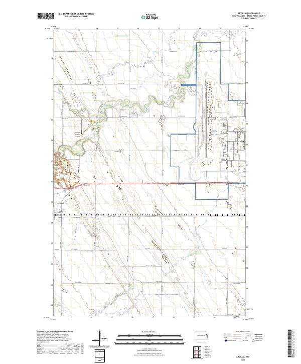
2024 Arvilla
Grand Forks County, ND
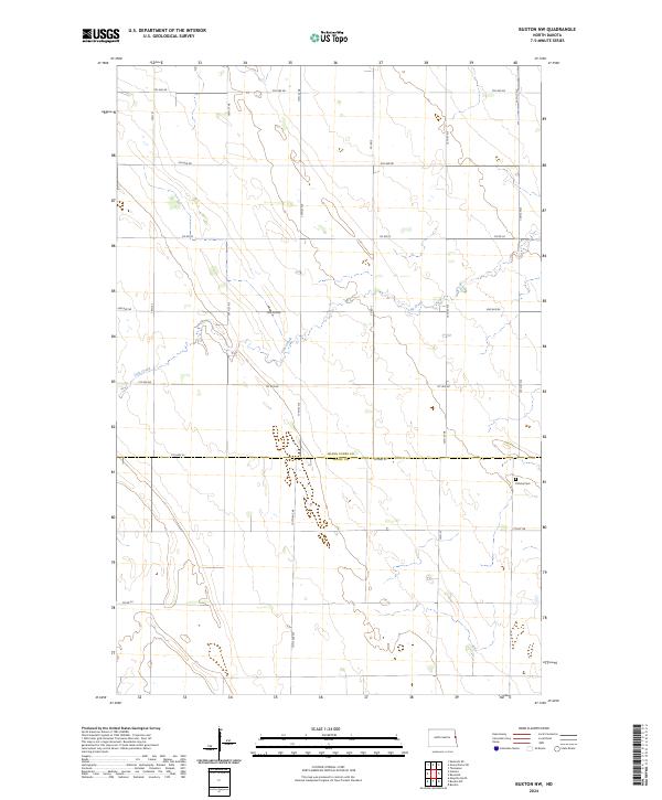
2024 Buxton NW
Grand Forks County, ND
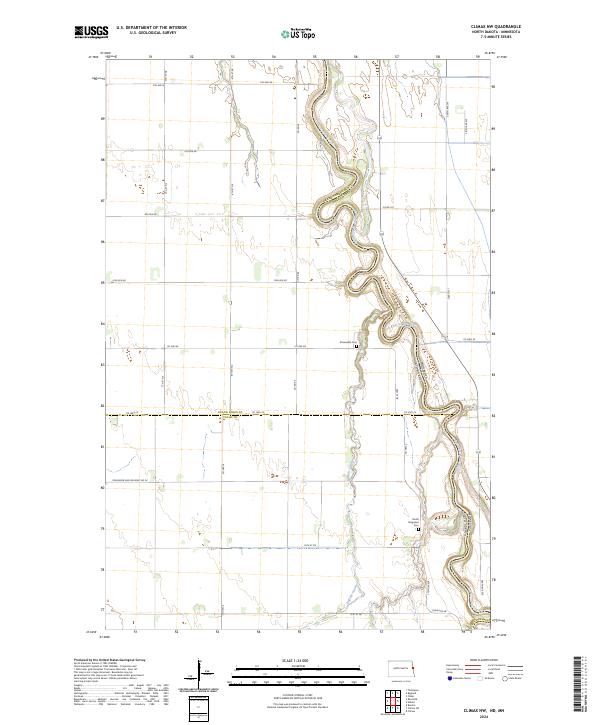
2024 Climax NW
Grand Forks County, ND
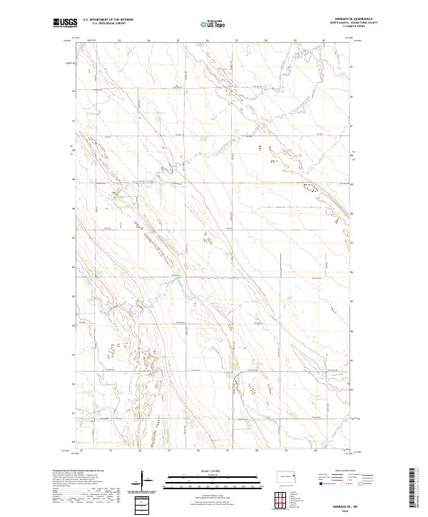
2024 Emerado SE
Grand Forks County, ND
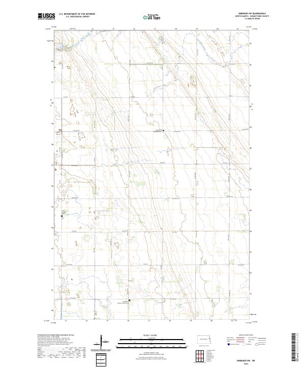
2024 Emerado SW
Grand Forks County, ND
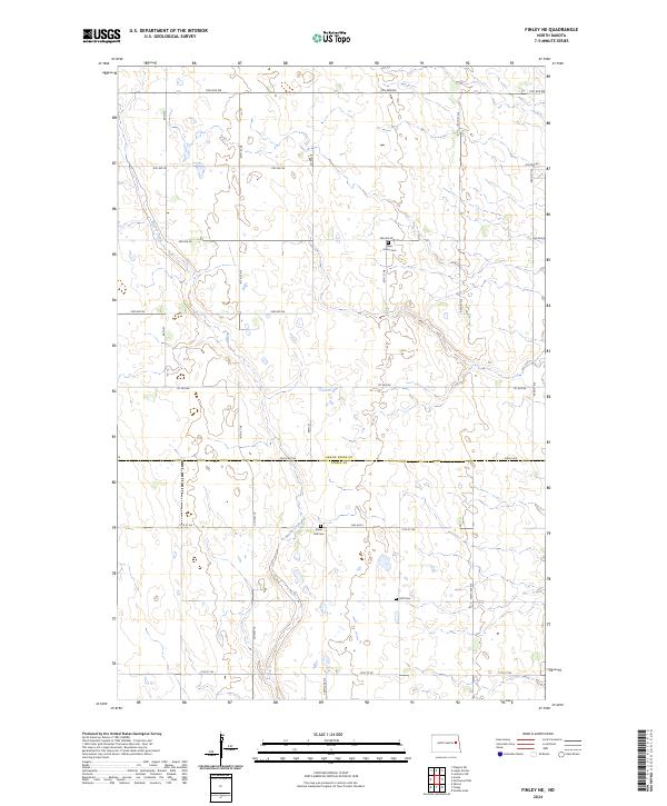
2024 Finley NE
Grand Forks County, ND
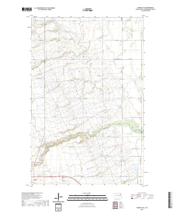
2024 Fordville SE
Grand Forks County, ND
2024 Grand Forks SW
Grand Forks County, ND
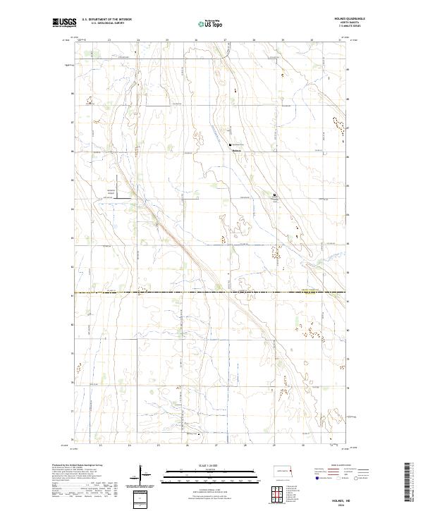
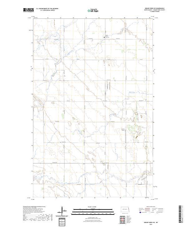
2024 Holmes
Grand Forks County, ND
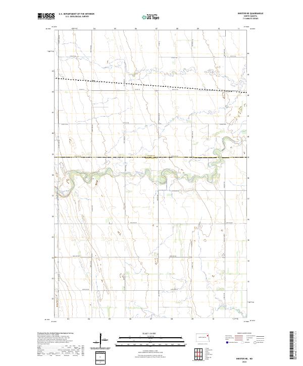
2024 Inkster NE
Grand Forks County, ND
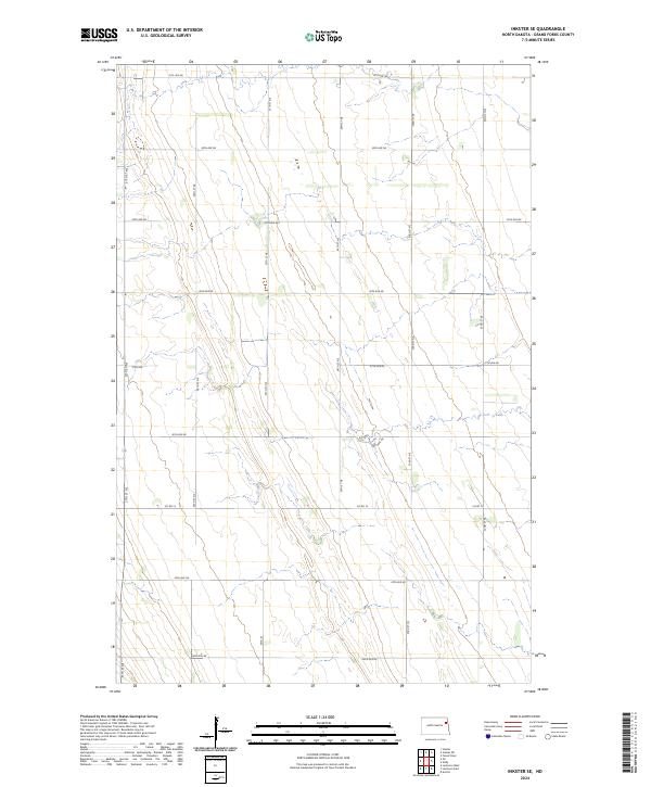
2024 Inkster SE
Grand Forks County, ND
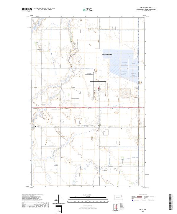
2024 Kelly
Grand Forks County, ND
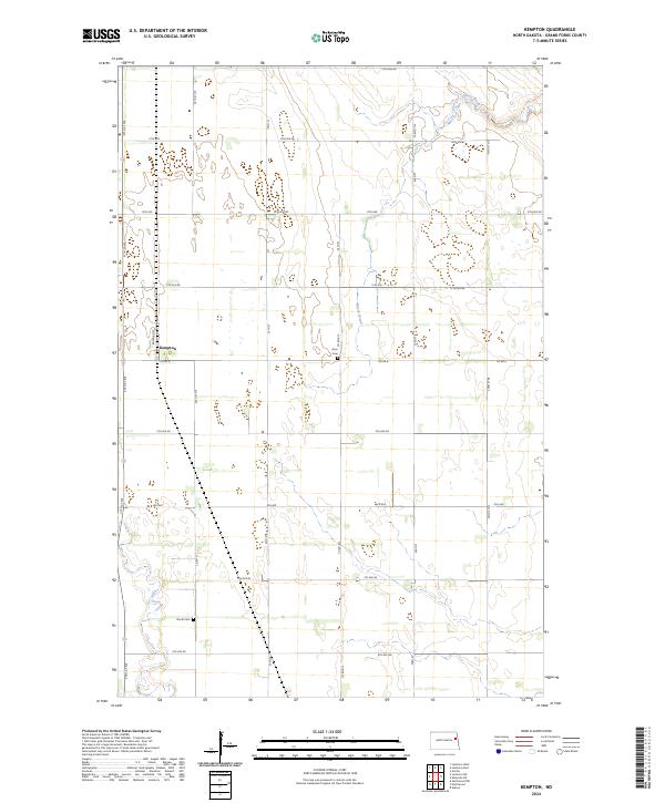
2024 Kempton
Grand Forks County, ND
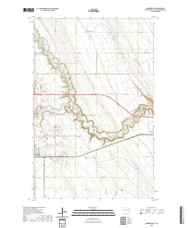
2024 Larimore East
Grand Forks County, ND
2024 Larimore SW
Grand Forks County, ND
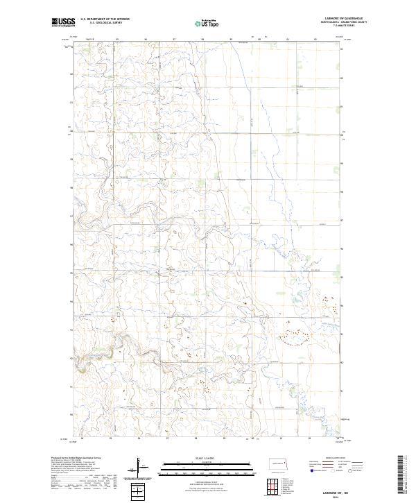
2024 Larimore West
Grand Forks County, ND
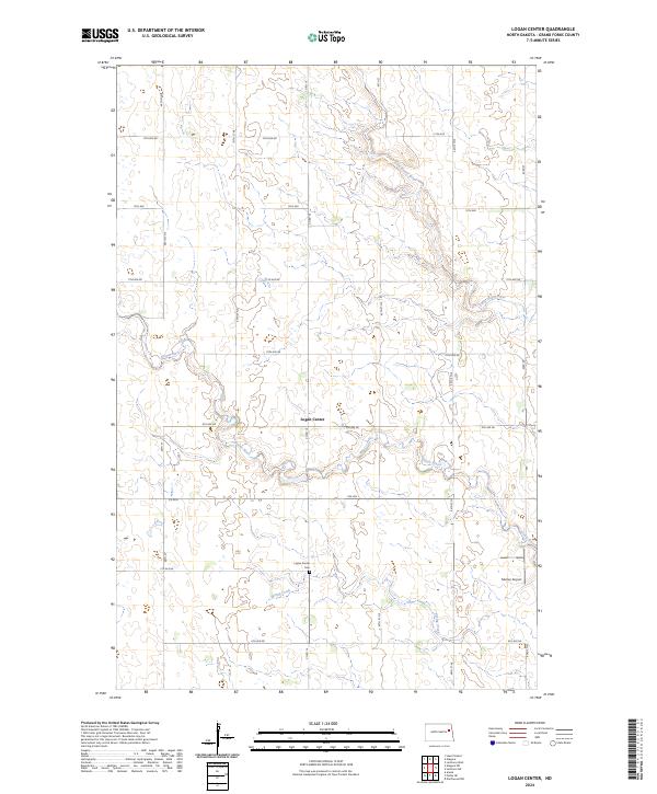
2024 Logan Center
Grand Forks County, ND
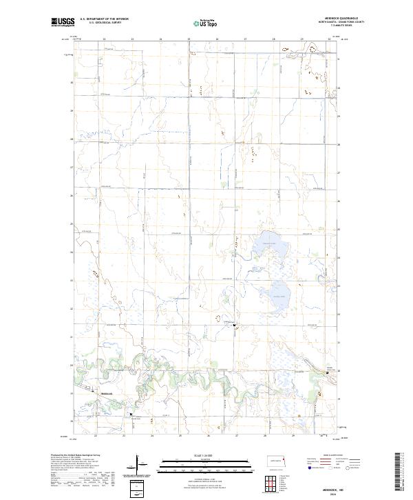
2024 Mekinock
Grand Forks County, ND
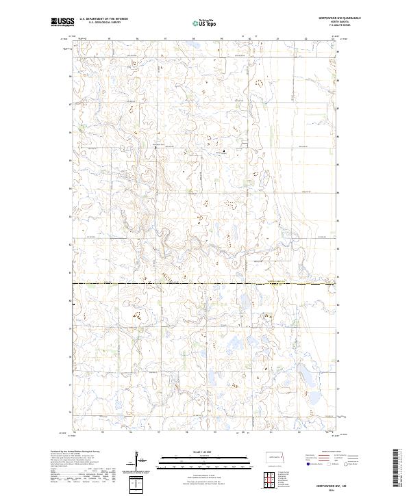
2024 Northwood NW
Grand Forks County, ND
2024 Orr
Grand Forks County, ND