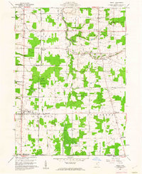
1960 Map of Orwell
USGS Topo · Published 1962About this map
Pennsylvania railroad tracks cut a straight north-south line through this portion of the Connecticut Western Reserve, anchoring a network of family-named roads and rural hamlets in the early 1960s. The landscape is defined by the headwaters of Rock Creek and its tributaries, including Lebanon Creek and Shanty Creek, which weave through a mosaic of woodlots and open fields. Small settlements like Rome Center, Dodgeville, and Colebrook serve as local hubs, many featuring established community landmarks such as the North Cem and Deeming Sch. To the west, the State Public Hunting Area represents a significant tract of conserved land. The mapping reveals a transition from traditional agricultural patterns to modern infrastructure, evidenced by the scattered substations and the established grid of thoroughfares like Station Road and Pennsylvania Road that connect these dispersed Ohio townships.
Find a feature on this map
62 named features on this map. Tap any name to fly to it.
Don’t see what you’re looking for? This feature index may not catch every label — zoom into the map to look around manually.
Map Details
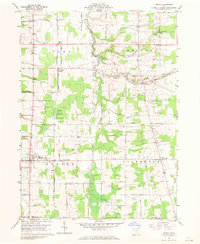
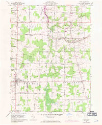
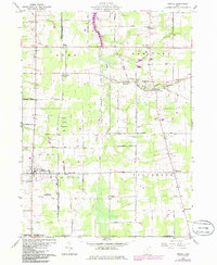
Editions of this 1960 Orwell Map
4 editions found
Other maps of this area

1905 · Andover
USGS Topo · 1:48,000

1905 · Bristolville
USGS Topo · 1:62,500

1905 · Jefferson
USGS Topo · 1:62,500

1907 · Andover
USGS Topo · 1:62,500

1907 · Kinsman
USGS Topo · 1:62,500

1907 · Bristolville
USGS Topo · 1:62,500

1907 · Jefferson
USGS Topo · 1:62,500

1950 · Cleveland
USGS Topo · 1:250,000

1952 · West Farmington
USGS Topo · 1:24,000

1956 · Cleveland
USGS Topo · 1:250,000
Featured Places
- Morgan Township, OH
- Rome, OH
- Orwell, Orwell Village
- Bloomfield Township, OH
- Roaming Shores, Morgan Township