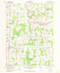
1960 Map of Orwell
USGS Topo · Published 1970About this map
Orwell and the surrounding townships of Rome, New Lyme, and Colebrook characterize this 1960 topographic survey of Ashtabula County. The landscape is defined by the Pennsylvania railroad corridor, which supported small railroad-adjacent settlements such as Rome Station and New Lyme Station. These locations hint at the historic importance of the rail line for transporting agricultural goods from the rural interior to larger markets.
Find a feature on this map
68 named features on this map. Tap any name to fly to it.
Don’t see what you’re looking for? This feature index may not catch every label — zoom into the map to look around manually.
Map Details
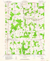
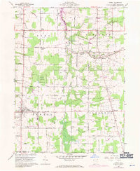
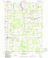
Editions of this 1960 Orwell Map
4 editions found
Other maps of this area

1905 · Andover
USGS Topo · 1:48,000

1905 · Bristolville
USGS Topo · 1:62,500

1905 · Jefferson
USGS Topo · 1:62,500

1907 · Andover
USGS Topo · 1:62,500

1907 · Kinsman
USGS Topo · 1:62,500

1907 · Bristolville
USGS Topo · 1:62,500

1907 · Jefferson
USGS Topo · 1:62,500

1950 · Cleveland
USGS Topo · 1:250,000

1952 · West Farmington
USGS Topo · 1:24,000

1956 · Cleveland
USGS Topo · 1:250,000
Featured Places
- Morgan Township, OH
- Rome, OH
- Orwell, Orwell Village
- Bloomfield Township, OH
- Roaming Shores, Morgan Township