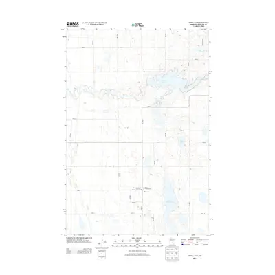
2013 Map of Orwell Lake
USGS Topo · Published 2013About this map
Western serves as a focal point for this section of Otter Tail County, where the agricultural plains meet a complex network of waterways. The settlement is anchored by local history markers like the Western Presbyterian Cem and Emmanuel Lutheran Church Cem, which speak to the area's heritage and community foundations. The landscape is defined by the wandering course of the Otter Tail River as it flows into Orwell Lake, a significant reservoir created by the damming of the river valley.
Find a feature on this map
23 named features on this map. Tap any name to fly to it.
Don’t see what you’re looking for? This feature index may not catch every label — zoom into the map to look around manually.
Map Details
Editions of this 2013 Orwell Lake Map
This is the sole edition of this map. No revisions or reprints were ever made.
Other maps of this area

1910 · Wendell
USGS Topo · 1:62,500

1913 · Fergus Falls
USGS Topo · 1:62,500

1913 · Wendell
USGS Topo · 1:62,500

1919 · Rothsay
USGS Topo · 1:62,500

1951 · Rothsay
USGS Topo · 1:62,500

1951 · Campbell
USGS Topo · 1:62,500

1953 · Fargo
USGS Topo · 1:250,000

1956 · Fargo
USGS Topo · 1:250,000

1966 · Carlisle
USGS Topo · 1:24,000
1973 · Dayton Hollow Dam
USGS Topo · 1:24,000