
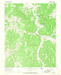
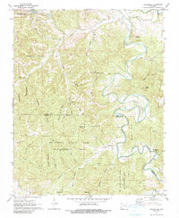
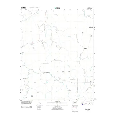
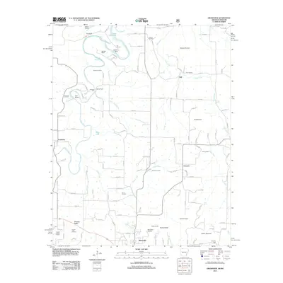
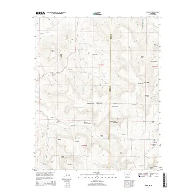
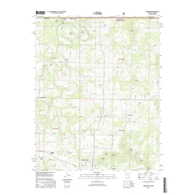
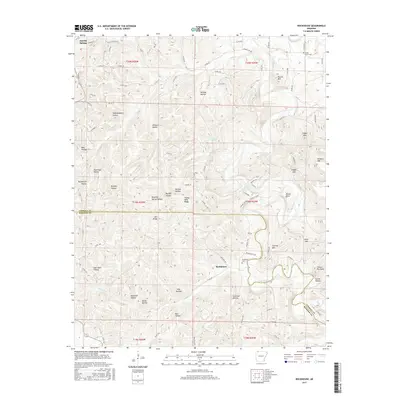
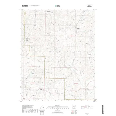
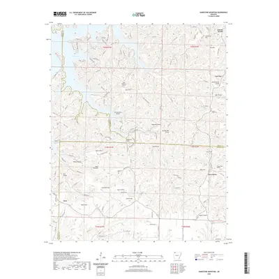
1968 Map of Osage
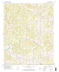
USGS Topo · Published 1973About this map
Osage Creek carves a deep valley through this corner of the Ozarks, where the small community of Osage serves as a local hub near Cedar Bluff. The 1968 landscape is defined by its rugged topography and family-named landmarks, reflecting generations of settlement in Carroll and Newton Counties. Several small communities and post offices are scattered throughout the hills, including Dryfork, Gobbler, and Rudd, often situated near dependable water sources like Tan Yard Branch or North Fork Dry Fork.
Find a feature on this map
50 named features on this map. Tap any name to fly to it.
Don’t see what you’re looking for? This feature index may not catch every label — zoom into the map to look around manually.
Map Details
Editions of this 1968 Osage Map
2 editions found
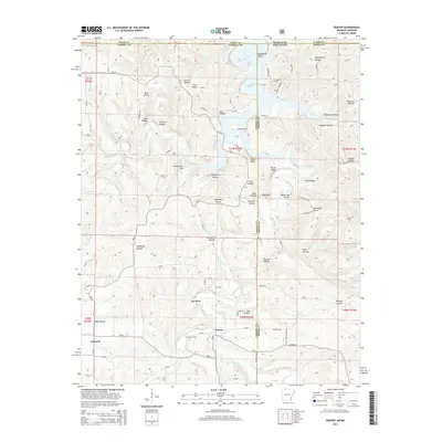
Historical Maps of Dryfork Through Time
42 maps found
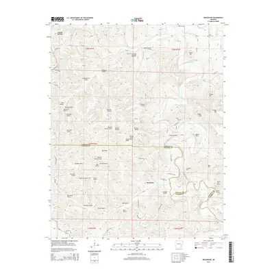
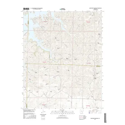
1957 Sandstone Mountain
Carroll County, AR
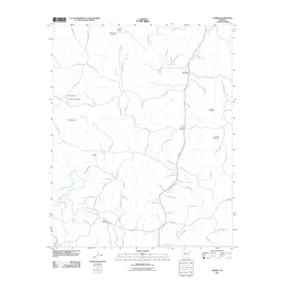
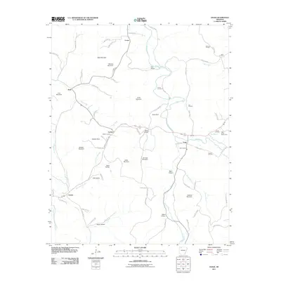
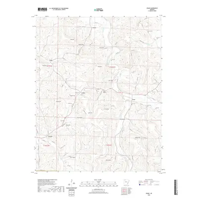
1968 Osage
Carroll County, AR
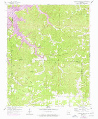
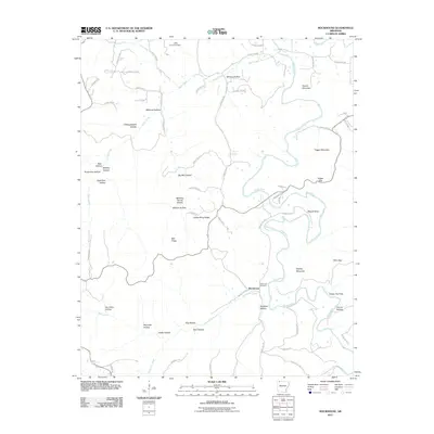
1968 Osage NE
Carroll County, AR
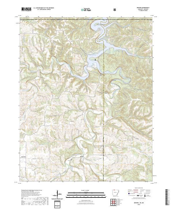
1972 Denver
Carroll County, AR

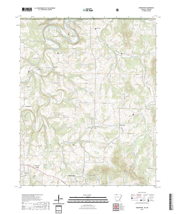
1972 Grandview
Carroll County, AR
1972 Rockhouse
Carroll County, AR
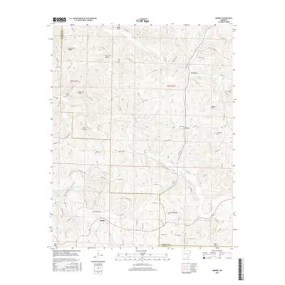
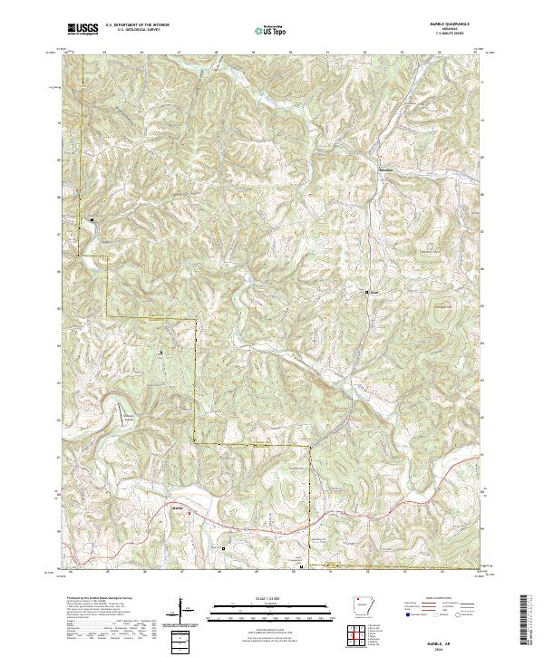
1973 Marble
Carroll County, AR
2011 Marble
Carroll County, AR
2011 Osage
Carroll County, AR
2011 Osage NE
Carroll County, AR
2011 Rockhouse
Carroll County, AR
2011 Sandstone Mountain
Carroll County, AR
2012 Denver
Carroll County, AR
2012 Grandview
Carroll County, AR
2014 Denver
Carroll County, AR
2014 Grandview
Carroll County, AR
2014 Marble
Carroll County, AR

2014 Osage
Carroll County, AR
2014 Osage NE
Carroll County, AR
2014 Rockhouse
Carroll County, AR
2014 Sandstone Mountain
Carroll County, AR
2017 Denver
Carroll County, AR
2017 Grandview
Carroll County, AR
2017 Marble
Carroll County, AR
2017 Osage
Carroll County, AR
2017 Osage NE
Carroll County, AR
2017 Rockhouse
Carroll County, AR
2017 Sandstone Mountain
Carroll County, AR
2020 Denver
Carroll County, AR
2020 Grandview
Carroll County, AR
2020 Marble
Carroll County, AR
2020 Osage
Carroll County, AR
2020 Osage NE
Carroll County, AR
2020 Rockhouse
Carroll County, AR
2020 Sandstone Mountain
Carroll County, AR
2024 Denver
Carroll County, AR
2024 Grandview
Carroll County, AR
2024 Marble
Carroll County, AR
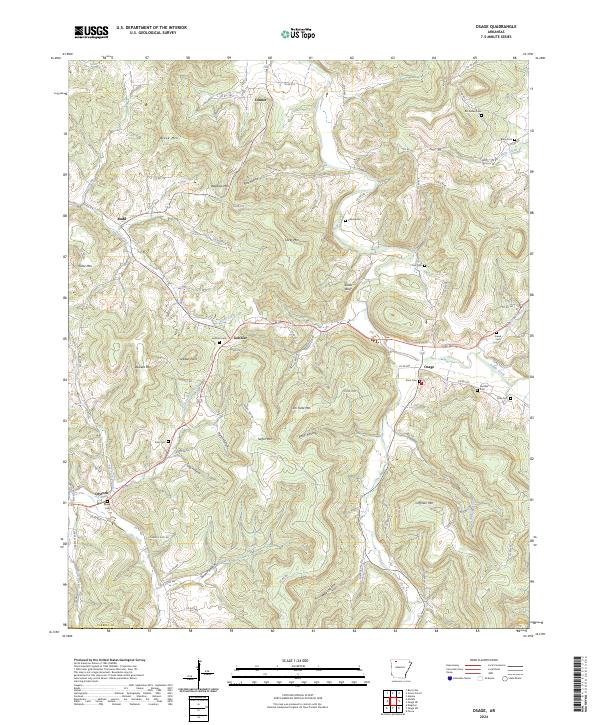
2024 Osage
Carroll County, AR
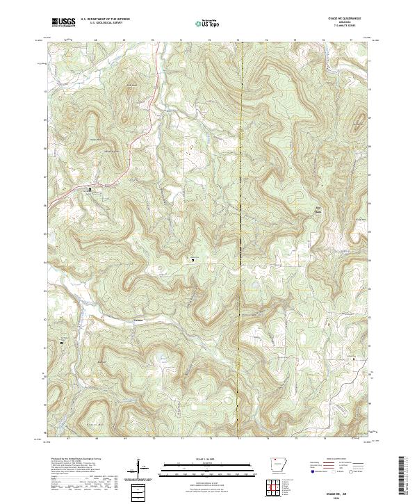
2024 Osage NE
Carroll County, AR
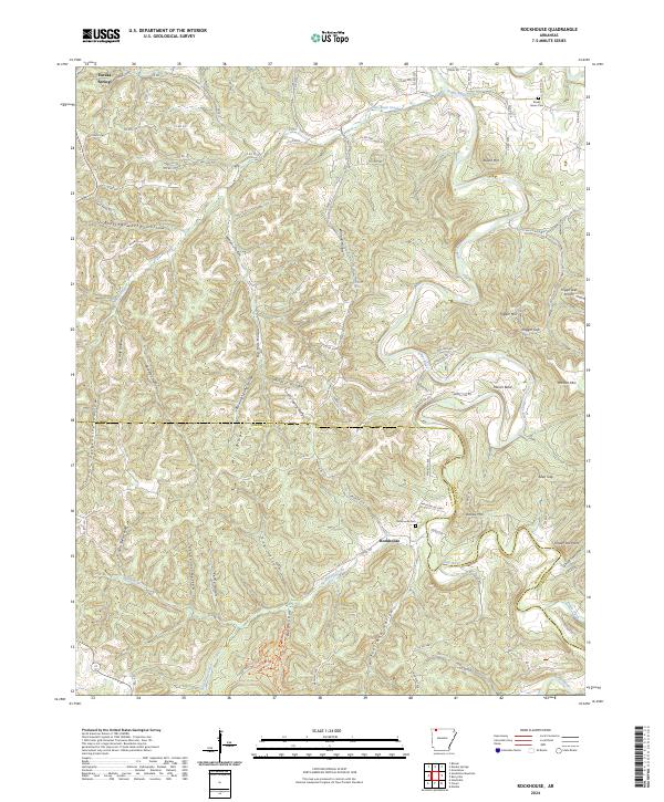
2024 Rockhouse
Carroll County, AR
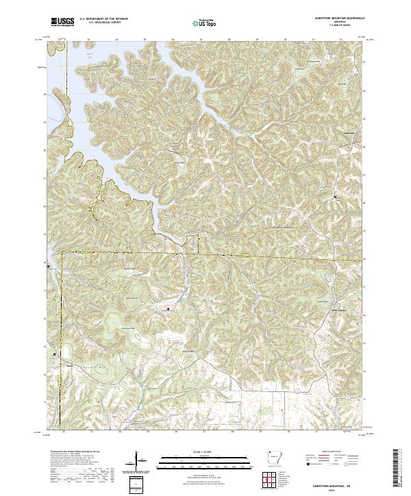
2024 Sandstone Mountain
Carroll County, AR