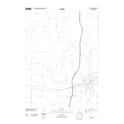
2013 Map of Osceola
USGS Topo · Published 2013About this map
Osceola serves as the central hub of this South Central Iowa landscape, situated at the intersection of major regional transport corridors. The terrain is defined by the winding paths of White Breast Cr to the south and the northern drainage of Squaw Cr and S Squaw Cr. Several significant water bodies surround the city center, including the expansive West Lake, which is a prominent feature west of the main settlement. Closer to the urban grid, Grade Lake and the smaller Q Pond provide distinct landmarks for local navigation. The map illustrates a transition between the organized street plan of the town and the surrounding rural infrastructure, where long-standing routes like Truro Pavement and Osage St connect outlying homesteads. Modern transit developments are evident in the placement of the Osceola North Bound Rest Area and its southbound counterpart along the primary highway artery.
Find a feature on this map
79 named features on this map. Tap any name to fly to it.
Don’t see what you’re looking for? This feature index may not catch every label — zoom into the map to look around manually.
Map Details
Editions of this 2013 Osceola Map
This is the sole edition of this map. No revisions or reprints were ever made.
Other maps of this area

1950 · New Virginia
USGS Topo · 1:62,500

1951 · Osceola
USGS Topo · 1:62,500

1952 · New Virginia
USGS Topo · 1:62,500

1954 · Centerville
USGS Topo · 1:250,000

1954 · Des Moines
USGS Topo · 1:250,000

1956 · Des Moines
USGS Topo · 1:250,000

1957 · Des Moines
USGS Topo · 1:250,000

1957 · Centerville
USGS Topo · 1:250,000

1958 · Centerville
USGS Topo · 1:250,000

1965 · Weldon
USGS Topo · 1:24,000