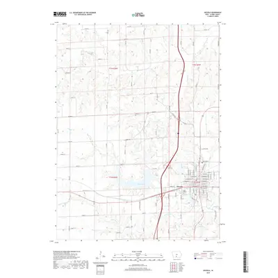
2018 Map of Osceola
USGS Topo · Published 2018About this map
Osceola serves as the focal point of this Clarke County landscape, showing a dense network of residential streets such as W Webster St and E McLane St that define the town's core. The surrounding area is marked by significant water management and natural drainage, with West Lake and Grade Lake providing major focal points for the local geography. The topography is intricately carved by several waterways, including White Breast Cr and Squaw Cr, which snake through the rural sections alongside established country roads like Co Rd H29. Genealogists and local historians can find vital landmarks such as Maple Hill Cem near the town center and the more rural Cox Cem to the north, offering a clear record of the area's development and community heritage.
Find a feature on this map
52 named features on this map. Tap any name to fly to it.
Don’t see what you’re looking for? This feature index may not catch every label — zoom into the map to look around manually.
Map Details
Editions of this 2018 Osceola Map
This is the sole edition of this map. No revisions or reprints were ever made.
Other maps of this area

1950 · New Virginia
USGS Topo · 1:62,500

1951 · Osceola
USGS Topo · 1:62,500

1952 · New Virginia
USGS Topo · 1:62,500

1954 · Centerville
USGS Topo · 1:250,000

1954 · Des Moines
USGS Topo · 1:250,000

1956 · Des Moines
USGS Topo · 1:250,000

1957 · Des Moines
USGS Topo · 1:250,000

1957 · Centerville
USGS Topo · 1:250,000

1958 · Centerville
USGS Topo · 1:250,000

1965 · Weldon
USGS Topo · 1:24,000