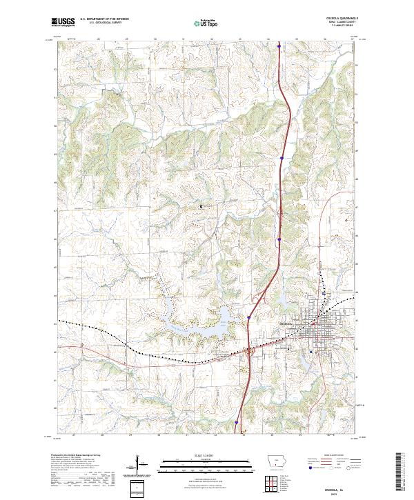
2023 Map of Osceola
USGS Topo · Published 2023About this map
The city of Osceola serves as a significant regional hub, anchored by the Clarke County Courthouse and the Southwestern Community College Osceola Center. The landscape is defined by the headwaters of White Breast Creek and North Otter Creek, which weave through the terrain alongside larger bodies of water like West Lake and Grade Lake. This modern survey illustrates the development of the area's transportation network, including the transition from Old US Hwy 34 to contemporary routes. Genealogists and local historians can locate long-standing landmarks such as Maple Hill Cem and Cox Cem, which provide essential points of reference for tracing family history in the township and range divisions of Clarke County.
Find a feature on this map
89 named features on this map. Tap any name to fly to it.
Don’t see what you’re looking for? This feature index may not catch every label — zoom into the map to look around manually.
Map Details
Editions of this 2023 Osceola Map
This is the sole edition of this map. No revisions or reprints were ever made.
Other maps of this area

1950 · New Virginia
USGS Topo · 1:62,500

1951 · Osceola
USGS Topo · 1:62,500

1952 · New Virginia
USGS Topo · 1:62,500

1954 · Centerville
USGS Topo · 1:250,000

1954 · Des Moines
USGS Topo · 1:250,000

1956 · Des Moines
USGS Topo · 1:250,000

1957 · Des Moines
USGS Topo · 1:250,000

1957 · Centerville
USGS Topo · 1:250,000

1958 · Centerville
USGS Topo · 1:250,000

1965 · Weldon
USGS Topo · 1:24,000