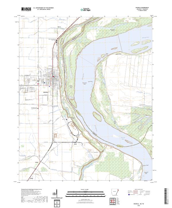
2024 Map of Osceola
USGS Topo · Published 2024About this map
The Osceola riverfront and its surrounding Mississippi River delta landscape are captured here, centered on the seat of Mississippi County. The map details the complex relationship between the settlement and the river, showing the massive Levee Rd protecting the town from the shifting currents of Plum Point Bend. Cultural landmarks like the Osceola Courthouse and Pilgrims Rest Missionary Baptist Church ground the town's geography, while several burial sites including Whiteside Memorial Gardens and Driver Cem provide valuable records for local family research. Across the state line, the Chickasaw National Wildlife Refuge dominates the eastern bank, illustrating the preservation of bottomland habitats alongside agricultural areas and small communities like Sans Souci and Grider.
Find a feature on this map
68 named features on this map. Tap any name to fly to it.
Don’t see what you’re looking for? This feature index may not catch every label — zoom into the map to look around manually.
Map Details
Editions of this 2024 Osceola Map
This is the sole edition of this map. No revisions or reprints were ever made.
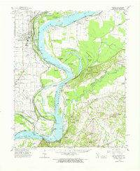
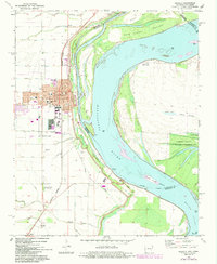
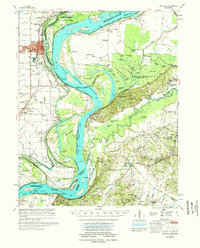
Historical Maps of Keyes Point Through Time
5 maps found