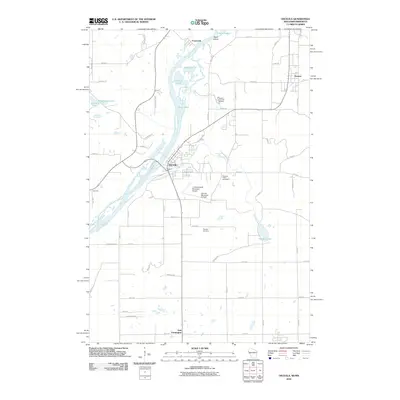
2010 Map of Osceola
USGS Topo · Published 2010About this map
The Saint Croix River serves as the primary boundary on this borderland survey, with the village of Osceola serving as a central hub on the Wisconsin side. The river valley is punctuated by unique hydrographic features including Rock Island and several water bodies such as Peaslee Lake and Lower Lake. Further inland, the landscape transitions from the river bluffs into a network of residential and agricultural plots, marked by historic sites like Ramsey Cemetery and the Pleasant Prairie Cemetery.
Find a feature on this map
56 named features on this map. Tap any name to fly to it.
Don’t see what you’re looking for? This feature index may not catch every label — zoom into the map to look around manually.
Map Details
Editions of this 2010 Osceola Map
This is the sole edition of this map. No revisions or reprints were ever made.
Other maps of this area

1900 · St Croix Dalles
USGS Topo · 1:62,500

1901 · St Croix Dalles
USGS Topo · 1:62,500

1948 · New Richmond
USGS Topo · 1:62,500

1948 · Stillwater
USGS Topo · 1:62,500

1949 · New Richmond
USGS Topo · 1:62,500

1949 · Stillwater
USGS Topo · 1:62,500

1953 · Stillwater
USGS Topo · 1:250,000

1955 · St. Croix Dalles
USGS Topo · 1:62,500

1955 · Marine
USGS Topo · 1:24,000

1955 · Forest Lake
USGS Topo · 1:62,500