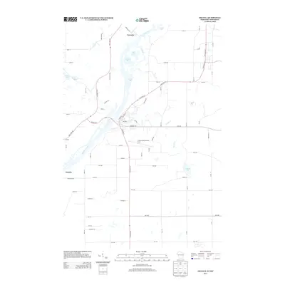
2013 Map of Osceola
USGS Topo · Published 2013About this map
The Saint Croix River forms a wide, complex corridor of islands and backwaters at the Minnesota-Wisconsin border, including the intricate channels of Close Slu and Lower Lake. This 2013 survey shows the rural character of the area around Franconia and Scandia, where the river valley transitions into a landscape dotted with smaller bodies of water like Peaslee Lake and Osceola Lake. Local infrastructure centers on the L O Simenstad Municipal Airport and a network of named country roads such as Sugar Bush Trl and Snow Goose Trl. The geography reflects the persistent importance of river crossings and local administration, evidenced by Draw Bridge Dr and the centrally located Townhall.
Find a feature on this map
70 named features on this map. Tap any name to fly to it.
Don’t see what you’re looking for? This feature index may not catch every label — zoom into the map to look around manually.
Map Details
Editions of this 2013 Osceola Map
This is the sole edition of this map. No revisions or reprints were ever made.
Other maps of this area

1900 · St Croix Dalles
USGS Topo · 1:62,500

1901 · St Croix Dalles
USGS Topo · 1:62,500

1948 · New Richmond
USGS Topo · 1:62,500

1948 · Stillwater
USGS Topo · 1:62,500

1949 · New Richmond
USGS Topo · 1:62,500

1949 · Stillwater
USGS Topo · 1:62,500

1953 · Stillwater
USGS Topo · 1:250,000

1955 · St. Croix Dalles
USGS Topo · 1:62,500

1955 · Marine
USGS Topo · 1:24,000

1955 · Forest Lake
USGS Topo · 1:62,500