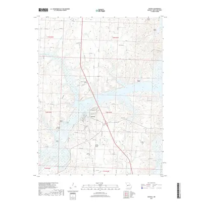
2017 Map of Osceola
USGS Topo · Published 2017About this map
Osceola sits at the confluence of several major waterways, most notably where the Osage River and Sac River meet. This 2017 survey reflects a landscape shaped by the expansion of the Harry S Truman Reservoir, which has transformed the old river valleys into a complex system of inlets and islands. Prominent landmarks such as Rock of Ages Bluff and Walker Island rise above the water, while several named hollows like Reese Hollow and Walnut Hollow define the surrounding drainage patterns. For genealogists, the map identifies several burial sites including Osceola Cem, Pleasant Mound Cem, and the more remote Wisner Number 2 Cem. The local infrastructure is anchored by the Osceola Municipal Airport and a network of rural roads that navigate the rugged shoreline, providing access to the various branches and creeks like Weaubleau Creek and Gallinipper Cr that feed into the reservoir.
Find a feature on this map
91 named features on this map. Tap any name to fly to it.
Don’t see what you’re looking for? This feature index may not catch every label — zoom into the map to look around manually.
Map Details
Editions of this 2017 Osceola Map
This is the sole edition of this map. No revisions or reprints were ever made.
Other maps of this area
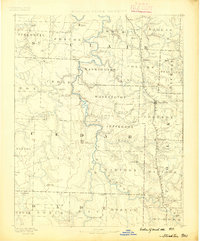
1886 · Stockton
USGS Topo · 1:125,000
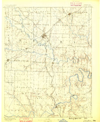
1887 · Clinton
USGS Topo · 1:125,000
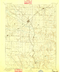
1894 · Clinton
USGS Topo · 1:125,000
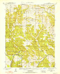
1938 · Monegaw Springs
USGS Topo · 1:24,000
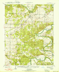
1938 · Roscoe
USGS Topo · 1:24,000
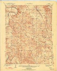
1938 · Vista
USGS Topo · 1:24,000
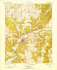
1939 · Osceola
USGS Topo · 1:24,000
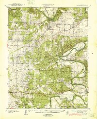
1940 · Roscoe
USGS Topo · 1:24,000
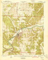
1940 · Osceola
USGS Topo · 1:24,000
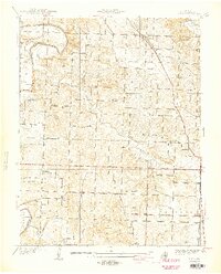
1940 · Vista
USGS Topo · 1:24,000