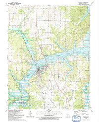
1991 Map of Osceola
USGS Topo · Published 1991About this map
The Osage River dominates the landscape around Osceola, as it widens into the Harry S Truman Reservoir. This 1991 survey shows a region defined by river bends and conservation tracts, including the Sac Osage State Wildlife Area and Dave Rock State Natural Area. Historically significant landmarks include the Old RR Grade and the Rock of Ages Bluff near Lilleys Island. For genealogists, the map identifies local landmarks like High Hill Ch, the Dunkard Cem, and Rest Haven Memorial Cem. The transport infrastructure of the era is represented by the Osceola Municipal Airport and the small settlements of Damascus and Pleasant Mound.
Find a feature on this map
45 named features on this map. Tap any name to fly to it.
Don’t see what you’re looking for? This feature index may not catch every label — zoom into the map to look around manually.
Map Details
Editions of this 1991 Osceola Map
This is the sole edition of this map. No revisions or reprints were ever made.
Other maps of this area

1886 · Stockton
USGS Topo · 1:125,000

1887 · Clinton
USGS Topo · 1:125,000

1894 · Clinton
USGS Topo · 1:125,000
1938 · Monegaw Springs
USGS Topo · 1:24,000
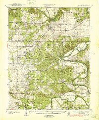
1938 · Roscoe
USGS Topo · 1:24,000
1938 · Vista
USGS Topo · 1:24,000
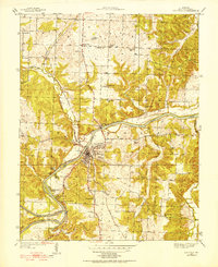
1939 · Osceola
USGS Topo · 1:24,000
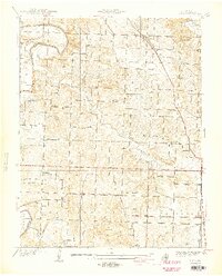
1940 · Roscoe
USGS Topo · 1:24,000
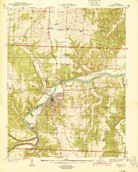
1940 · Osceola
USGS Topo · 1:24,000
1940 · Vista
USGS Topo · 1:24,000