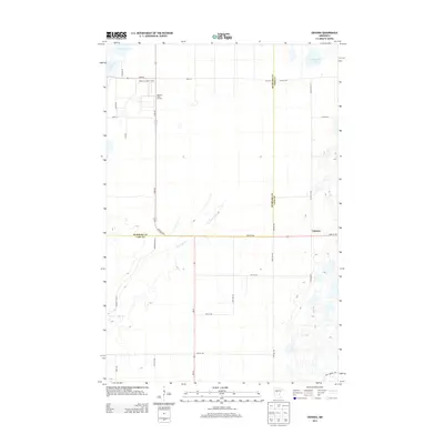
2013 Map of Oshawa
USGS Topo · Published 2013About this map
Forestry and wetland conservation define this landscape along the border of Hubbard and Cass Counties. The Badoura State Nursery and its associated Badoura Lookout Tower stand as central landmarks near the junction of State 64 and State 87. This region is characterized by a complex drainage system, where the meandering Big Swamp Cr flows through low-lying terrain, flanked by numerous small water bodies including Mow Lake, Nagel Lake, and S Haynes Lake.
Find a feature on this map
30 named features on this map. Tap any name to fly to it.
Don’t see what you’re looking for? This feature index may not catch every label — zoom into the map to look around manually.
Map Details
Editions of this 2013 Oshawa Map
This is the sole edition of this map. No revisions or reprints were ever made.
Other maps of this area
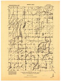
1919 · Leader
USGS Topo · 1:62,500
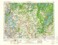
1953 · Brainerd
USGS Topo · 1:250,000
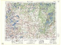
1957 · Brainerd
USGS Topo · 1:250,000
1958 · Brainerd
USGS Topo · 1:250,000
1965 · Brainerd
USGS Topo · 1:250,000
1969 · Burgen Lake
USGS Topo · 1:24,000
1970 · Spider Lake
USGS Topo · 1:24,000
1970 · Backus
USGS Topo · 1:24,000
1970 · Hackensack
USGS Topo · 1:24,000
1970 · Bungo Creek
USGS Topo · 1:24,000