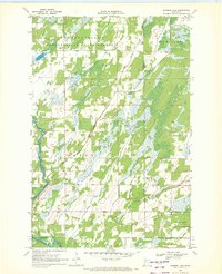
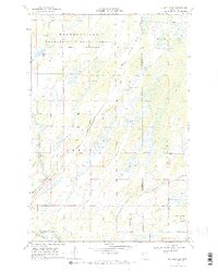
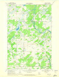
1969 Map of Burgen Lake
USGS Topo · Published 1972About this map
The Crow Wing River snakes along the western edge of this landscape, carving a path through the transition from dense woodland to wetland. This late-1960s survey documents a region dominated by the Huntersville State Forest and Foot Hills State Forest, where the geography is defined by complex drainage networks like Big Swamp Creek and Little Swamp Creek. The township boundaries of Huntersville, Orton, Lyons, and Poplar converge here, showing a sparsely populated area where human presence is marked primarily by forestry and recreation. Cultural landmarks are few but significant for local history, including the Huntersville Cem in the northwest and a Lookout Tower positioned for forest fire surveillance. Along the river, the Frames Landing Campground and the small Burgen Lake highlight the area's use as a seasonal retreat within the Minnesota wilderness.
Find a feature on this map
16 named features on this map. Tap any name to fly to it.
Don’t see what you’re looking for? This feature index may not catch every label — zoom into the map to look around manually.
Map Details
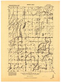
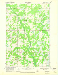
Editions of this 1969 Burgen Lake Map
2 editions found
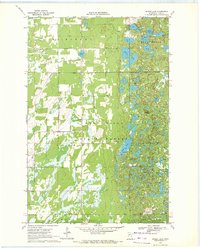
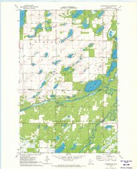
Other maps of this area
1919 · Leader
USGS Topo · 1:62,500

1953 · Brainerd
USGS Topo · 1:250,000

1957 · Brainerd
USGS Topo · 1:250,000

1958 · Brainerd
USGS Topo · 1:250,000

1965 · Brainerd
USGS Topo · 1:250,000
1969 · Nimrod SW
USGS Topo · 1:24,000
1969 · Nimrod
USGS Topo · 1:24,000

1969 · Oylen
USGS Topo · 1:24,000
1970 · Spider Lake
USGS Topo · 1:24,000
1970 · Huntersville
USGS Topo · 1:24,000