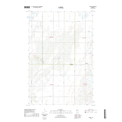
2019 Map of Oshawa
USGS Topo · Published 2019About this map
The settlement of Oshawa lies at the intersection of local routes along the Hubbard and Cass County line in northern Minnesota. This 2019 survey illustrates a landscape dominated by extensive wetland systems, most notably the winding course of Big Swamp Cr which drains the central lowlands. The rural character of the area is defined by a rigid section grid of roads such as 140th St and 8th St Sw, which segment the terrain into manageable agricultural and timber parcels. To the north, South Haynes Lake and Nagel Lake punctuate the marshy topography, providing localized elevation relief. The map provides a contemporary view of this remote region, where legacy names like Logs Cross Rd and McKinley Rd 2 hint at the historical timber and transit routes that established these communities within the surrounding woods.
Find a feature on this map
30 named features on this map. Tap any name to fly to it.
Don’t see what you’re looking for? This feature index may not catch every label — zoom into the map to look around manually.
Map Details
Editions of this 2019 Oshawa Map
This is the sole edition of this map. No revisions or reprints were ever made.
Other maps of this area
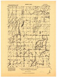
1919 · Leader
USGS Topo · 1:62,500
1953 · Brainerd
USGS Topo · 1:250,000
1957 · Brainerd
USGS Topo · 1:250,000
1958 · Brainerd
USGS Topo · 1:250,000
1965 · Brainerd
USGS Topo · 1:250,000
1969 · Burgen Lake
USGS Topo · 1:24,000
1970 · Spider Lake
USGS Topo · 1:24,000
1970 · Backus
USGS Topo · 1:24,000
1970 · Hackensack
USGS Topo · 1:24,000
1970 · Bungo Creek
USGS Topo · 1:24,000