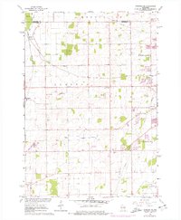
1961 Map of Oshkosh NE
USGS Topo · Published 1977About this map
The Chicago and North Western Line and Soo Line converge at Medina Junction, defining the transport character of this mid-century landscape in Winnebago County. This survey reflects a period of transition as traditional agricultural land began to incorporate recreational and industrial uses, visible in the numerous Gravel Pits and the Ridgeway Country Club. Small communities like Larsen and Allenville serve as local anchors, while the Rat River meanders through the northwest corner of Dale.
Find a feature on this map
31 named features on this map. Tap any name to fly to it.
Don’t see what you’re looking for? This feature index may not catch every label — zoom into the map to look around manually.
Map Details
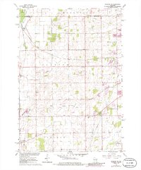
Editions of this 1961 Oshkosh NE Map
3 editions found
Other maps of this area

1911 · Neenah
USGS Topo · 1:62,500

1955 · Neenah
USGS Topo · 1:62,500

1955 · Appleton
USGS Topo · 1:24,000

1955 · Appleton
USGS Topo · 1:62,500

1955 · Neenah
USGS Topo · 1:24,000

1955 · Green Bay
USGS Topo · 1:250,000

1956 · New London
USGS Topo · 1:48,000

1961 · Oshkosh
USGS Topo · 1:24,000

1961 · Oshkosh
USGS Topo · 1:62,500

1961 · Oshkosh NE
USGS Topo · 1:24,000