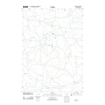
2012 Map of Oshoto
USGS Topo · Published 2012About this map
Oshoto serves as the central hub of this northeast Wyoming landscape, where the Little Missouri River meanders through a terrain defined by numerous draws and ridges. The 2012 geography highlights a sparse rural network focused around the Oshoto Reservoir and the surrounding ranching country. High points like Berger Hill and the prominent Pine Ridge overlook a series of drainages, including Good Lad Cr, Deadman Cr, and Cabin Cr, which carve into the plains.
Find a feature on this map
20 named features on this map. Tap any name to fly to it.
Don’t see what you’re looking for? This feature index may not catch every label — zoom into the map to look around manually.
Map Details
Editions of this 2012 Oshoto Map
This is the sole edition of this map. No revisions or reprints were ever made.
Other maps of this area

1905 · Devils Tower
USGS Topo · 1:125,000

1918 · Moorcroft
USGS Topo · 1:125,000

1918 · Moorcroft
USGS Topo · 1:62,500

1954 · Carlile
USGS Topo · 1:24,000

1954 · Missouri Buttes
USGS Topo · 1:24,000

1954 · Gillette
USGS Topo · 1:250,000

1955 · Gillette
USGS Topo · 1:250,000

1957 · Moorcroft
USGS Topo · 1:62,500

1957 · Oshoto
USGS Topo · 1:62,500

1958 · Gillette
USGS Topo · 1:250,000