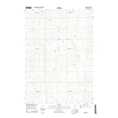
2015 Map of Oshoto
USGS Topo · Published 2015About this map
Oshoto anchors this high plains landscape in Crook County, where the headwaters of the Little Missouri River wind through a series of natural draws and ridges. The topography is defined by the Edsel Hills to the north and the prominent Pine Ridge to the south, creating a complex drainage network including Ash Draw, Brosa Draw, and North Draw. Local ranching and land use are reflected in the naming of geographic features like Sidner Flats and Sidner Draw, positioned near the Oshoto Reservoir. The area is networked by rural routes such as New Haven Rd and Cabin Creek Rd, which follow the contours of the terrain. This map documents a quiet corner of Wyoming where water sources like Deadman Cr and Good Lad Cr were vital to the early settlement and livestock economy of the region.
Find a feature on this map
27 named features on this map. Tap any name to fly to it.
Don’t see what you’re looking for? This feature index may not catch every label — zoom into the map to look around manually.
Map Details
Editions of this 2015 Oshoto Map
This is the sole edition of this map. No revisions or reprints were ever made.
Other maps of this area

1905 · Devils Tower
USGS Topo · 1:125,000

1918 · Moorcroft
USGS Topo · 1:125,000

1918 · Moorcroft
USGS Topo · 1:62,500

1954 · Carlile
USGS Topo · 1:24,000

1954 · Missouri Buttes
USGS Topo · 1:24,000

1954 · Gillette
USGS Topo · 1:250,000

1955 · Gillette
USGS Topo · 1:250,000

1957 · Moorcroft
USGS Topo · 1:62,500

1957 · Oshoto
USGS Topo · 1:62,500

1958 · Gillette
USGS Topo · 1:250,000