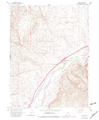
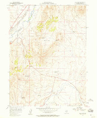
1962 Map of Osino
USGS Topo · Published 1983About this map
The Humboldt River corridor dominates this Nevada landscape, serving as the primary artery for both transportation and regional infrastructure in the early 1960s. Parallel tracks of the Southern Pacific and Western Pacific railroads trace the river's path, emphasizing the area's role in the transcontinental rail network. The small settlement of Osino is centered near the Osino Interchange, where local canyons like Jackson Canyon and Sherman Creek drain from the surrounding high ground of the Adobe Range. To the south, the Nevada Youth Training Center and the Airway Beacon near Coin indicate the diversification of land use beyond ranching. The terrain transitions sharply from the river valley to the prominent peaks of the Elko Mountains, with numerous jeep trails and scattered water sources such as Sheep Creek Well supporting activity in the backcountry.
Find a feature on this map
30 named features on this map. Tap any name to fly to it.
Don’t see what you’re looking for? This feature index may not catch every label — zoom into the map to look around manually.
Map Details
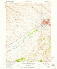
Editions of this 1962 Osino Map
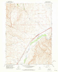
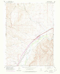
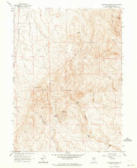
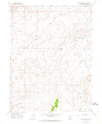
Other maps of this area

1955 · Wells
USGS Topo · 1:250,000

1955 · Elko
USGS Topo · 1:250,000
1957 · Elko West
USGS Topo · 1:24,000
1957 · Elko East
USGS Topo · 1:24,000

1958 · Wells
USGS Topo · 1:250,000

1958 · Elko
USGS Topo · 1:250,000

1961 · Wells
USGS Topo · 1:250,000

1962 · Elko
USGS Topo · 1:250,000
1962 · Kittridge Springs
USGS Topo · 1:24,000
1962 · Boyd Reservoir
USGS Topo · 1:24,000