
1982 Map of Oskaloosa
USGS Topo · Published 1982About this map
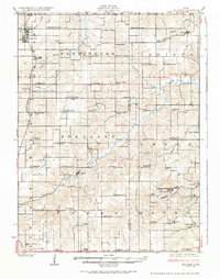
Lake Red Rock and the winding Des Moines River anchor this southeast Iowa landscape, which by the early 1980s was defined by its agricultural grid and a robust network of railways and public lands. The region is home to established academic centers like Ottumwa Heights College and specialized outdoor areas, including the Miami Lake State Game Management Area and Lake Keomah State Park. A diverse rail economy is evident through the presence of the Burlington Northern and the Milwaukee St Paul and Pacific lines, facilitating the movement of resources through towns like What Cheer and Sigourney. While the terrain is largely shaped by the Skunk River and English River systems, local industry is marked by a Strip Mine south of Oskaloosa and a cluster of regional airfields including Vander Wiel Airport and Pella Municipal Airport.
Find a feature on this map
122 named features on this map. Tap any name to fly to it.
Don’t see what you’re looking for? This feature index may not catch every label — zoom into the map to look around manually.
Map Details
Editions of this 1982 Oskaloosa Map
This is the sole edition of this map. No revisions or reprints were ever made.
Other maps of this area

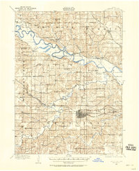
1891 · Oxford
USGS Topo · 1:62,500

1894 · Oxford
USGS Topo · 1:62,500

1903 · Fairfax
USGS Topo · 1:125,000
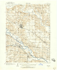
1909 · Knoxville
USGS Topo · 1:62,500
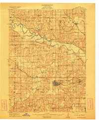
1910 · Pella
USGS Topo · 1:62,500
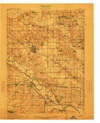
1912 · Knoxville
USGS Topo · 1:62,500
1912 · Pella
USGS Topo · 1:62,500
1924 · Melcher
USGS Topo · 1:62,500
1929 · Albia
USGS Topo · 1:62,500

1935 · Russell
USGS Topo · 1:62,500