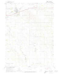
1963 Map of Osmond
USGS Topo · Published 1974About this map
Osmond serves as the primary hub of activity in this 1960s agricultural landscape, situated at the intersection of the Chicago and North Western railroad and local transport routes. The town is flanked by a significant network of burial sites, including St Marys Cem, Immanuel Cem, and Osmond Cem, which offer specific locations for genealogical research. The surrounding terrain is defined by the winding course of the North Fork Elkhorn River and the East Branch, which provide the drainage for townships such as Plum Grove and Thompson.
Find a feature on this map
20 named features on this map. Tap any name to fly to it.
Don’t see what you’re looking for? This feature index may not catch every label — zoom into the map to look around manually.
Map Details
Editions of this 1963 Osmond Map
2 editions found
Other maps of this area

1955 · Sioux City
USGS Topo · 1:250,000

1958 · Sioux City
USGS Topo · 1:250,000

1959 · Sioux City
USGS Topo · 1:250,000

1963 · Pierce NW
USGS Topo · 1:24,000

1963 · Foster
USGS Topo · 1:24,000

1963 · Osmond
USGS Topo · 1:24,000

1963 · Wee Town
USGS Topo · 1:24,000
1963 · Pierce
USGS Topo · 1:24,000

1971 · Wausa
USGS Topo · 1:24,000
1971 · Randolph SW
USGS Topo · 1:24,000