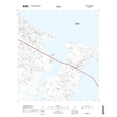
2019 Map of Oso Creek NE
USGS Topo · Published 2019About this map
Corpus Christi Naval Air Station/Truax Field and the Waldron-Naval Outlying Field dominate this 2019 coastal landscape, reflecting the long-standing military presence on the Encinal Peninsula. The map details the complex intersection of land and water where Oso Creek flows into Oso Bay, bridged by the curiously named Mud Bridge. Residential expansion is evident in established communities like Flour Bluff, Peary Place, and Gardendale, which sit alongside significant local landmarks such as Seaside Memorial Cem and Aberdeen Cem.
Find a feature on this map
210 named features on this map. Tap any name to fly to it.
Don’t see what you’re looking for? This feature index may not catch every label — zoom into the map to look around manually.
Map Details
Editions of this 2019 Oso Creek NE Map
This is the sole edition of this map. No revisions or reprints were ever made.
Other maps of this area

1925 · Aransas Pass
USGS Topo · 1:62,500

1925 · Oso Creek
USGS Topo · 1:62,500

1925 · Corpus Christi
USGS Topo · 1:62,500

1950 · Corpus Christi
USGS Topo · 1:250,000

1951 · Portland
USGS Topo · 1:24,000

1951 · Corpus Christi
USGS Topo · 1:24,000

1951 · Corpus Christi
USGS Topo · 1:62,500

1951 · Crane Islands NW
USGS Topo · 1:24,000

1951 · Oso Creek NW
USGS Topo · 1:24,000

1951 · Oso Creek NE
USGS Topo · 1:24,000