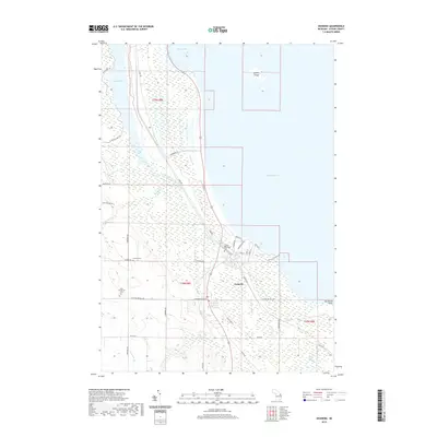
2019 Map of Ossineke
USGS Topo · Published 2019About this map
The unincorporated community of Ossineke sits at the mouth of the Devils River, where the waters of the North Branch Devils River and S Br Devils River converge before emptying into Thunder Bay on Lake Huron. This coastal landscape is defined by its extensive wetlands and historical cemeteries, including the Sanborn Township Cem near the town center, Saint Catherine's Cem to the southwest, and the German Cem situated further inland.
Find a feature on this map
48 named features on this map. Tap any name to fly to it.
Don’t see what you’re looking for? This feature index may not catch every label — zoom into the map to look around manually.
Map Details
Editions of this 2019 Ossineke Map
This is the sole edition of this map. No revisions or reprints were ever made.
Other maps of this area

1954 · Tawas City
USGS Topo · 1:250,000

1954 · Alpena
USGS Topo · 1:250,000

1957 · Alpena
USGS Topo · 1:250,000

1958 · Alpena
USGS Topo · 1:250,000

1958 · Tawas City
USGS Topo · 1:250,000

1969 · Alpena
USGS Topo · 1:250,000

1971 · Lake Winyah
USGS Topo · 1:24,000

1971 · Alpena
USGS Topo · 1:24,000

1971 · Spruce
USGS Topo · 1:24,000

1971 · North Point
USGS Topo · 1:24,000