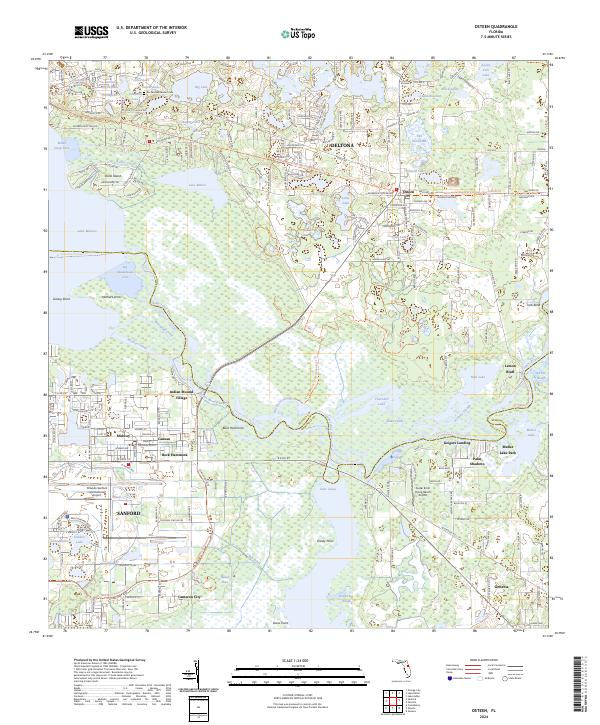
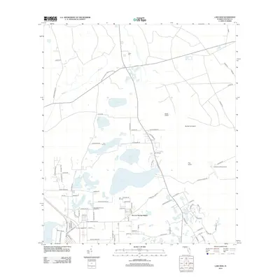
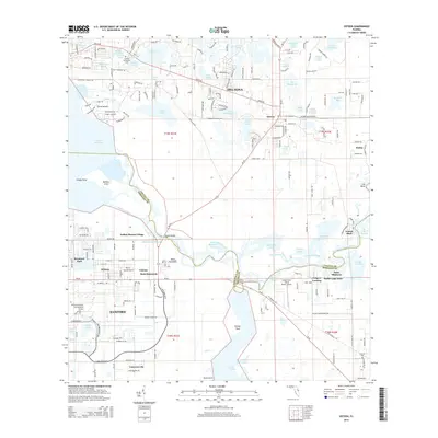
2024 Map of Osteen
USGS Topo · Published 2024About this map
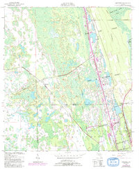
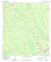
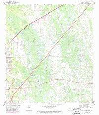
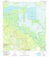
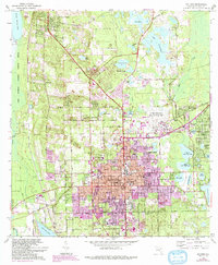
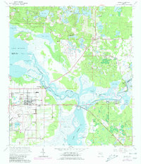
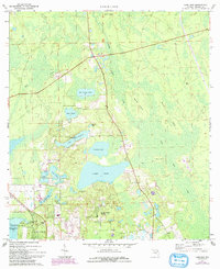
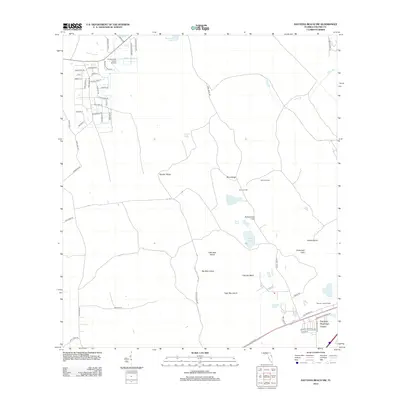
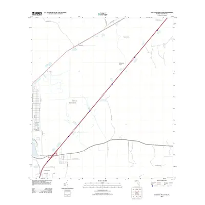
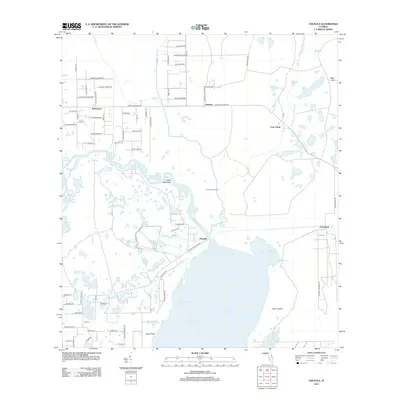
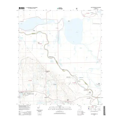
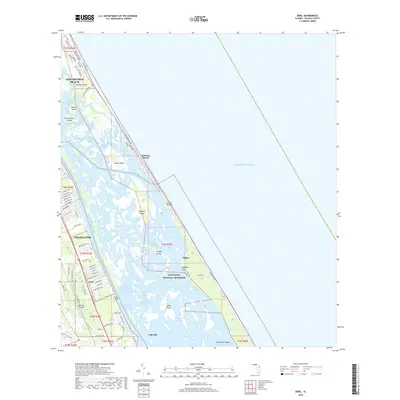
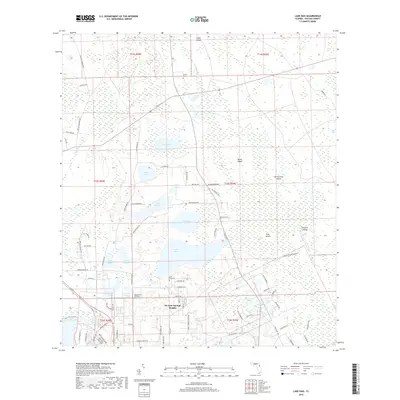
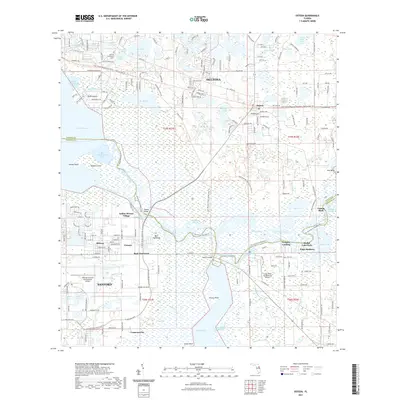
Lake Monroe and Lake Jesup dominate this central Florida landscape, connected by the winding Saint Johns River. The aquatic environment is defined by complex networks of sloughs and inlets, including Rotten Egg Slough, Brickyard Slough, and Big Smokehouse Cove. Settlement patterns are concentrated near the city of Sanford and the growing area of Deltona, while smaller communities like Osteen, Geneva, and the historically significant Garfield Settlement Cem provide important genealogical touchpoints. The map reveals the intersection of transportation and recreation, from the Orlando Sanford International Airport to the East Central Regional Rail Trail. Notable landmarks such as Geigers Landing and the curiously named Naked Place highlight the distinct local character of the riverfront and hammocks.
Find a feature on this map
66 named features on this map. Tap any name to fly to it.
Don’t see what you’re looking for? This feature index may not catch every label — zoom into the map to look around manually.
Map Details
Editions of this 2024 Osteen Map
This is the sole edition of this map. No revisions or reprints were ever made.
Historical Maps of Deltona Through Time
88 maps found
1949 Osceola
Volusia County, FL
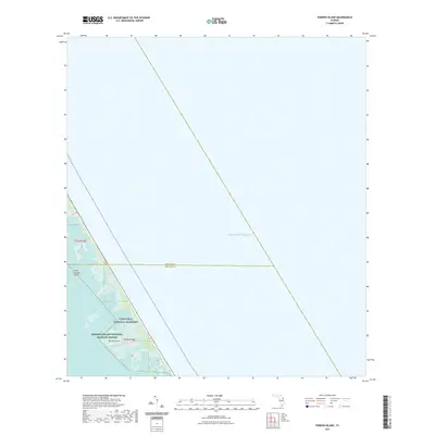
1949 Pardon Island
Volusia County, FL
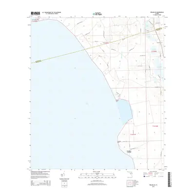
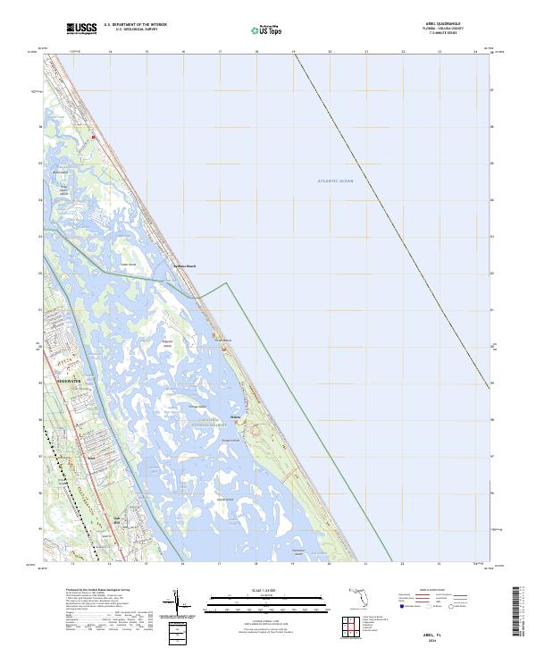
1950 Ariel
Volusia County, FL
1950 Maytown
Volusia County, FL
1952 Pardon Island
Volusia County, FL
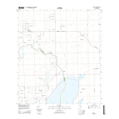
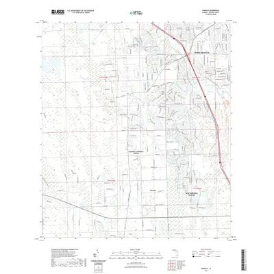
1952 Samsula
Volusia County, FL
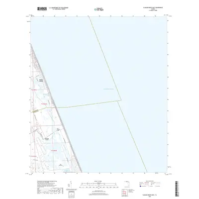
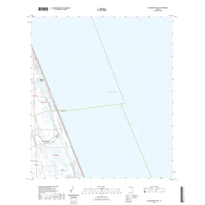
1956 Flagler Beach East
Volusia County, FL
1962 Daytona Beach NW
Volusia County, FL
1962 Daytona Beach SW
Volusia County, FL
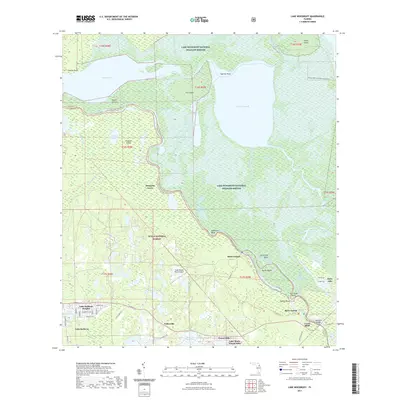
1962 Lake Woodruff
Volusia County, FL
1964 De Land
Volusia County, FL
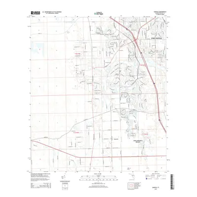
1965 Osteen
Volusia County, FL
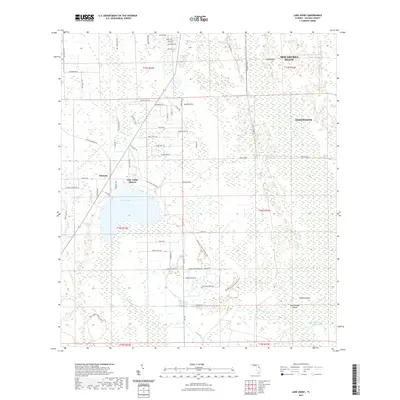
1966 Lake Ashby
Volusia County, FL
1966 Osceola
Volusia County, FL
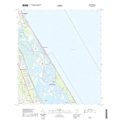
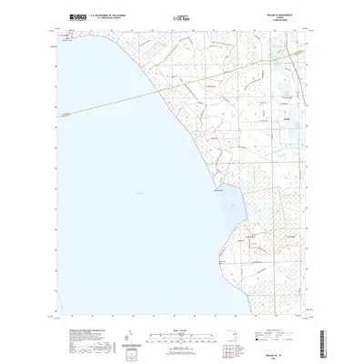
1970 Welaka SE
Volusia County, FL
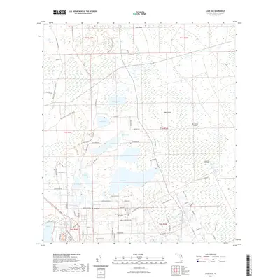
1971 Lake Dias
Volusia County, FL
1994 Pardon Island
Volusia County, FL
1999 Lake Woodruff
Volusia County, FL
2012 Ariel
Volusia County, FL
2012 Daytona Beach NW
Volusia County, FL
2012 Daytona Beach SW
Volusia County, FL
2012 Flagler Beach East
Volusia County, FL
2012 Lake Ashby
Volusia County, FL
2012 Lake Dias
Volusia County, FL
2012 Lake Woodruff
Volusia County, FL
2012 Maytown
Volusia County, FL
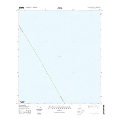
2012 New Smyrna Beach OE E
Volusia County, FL
2012 Osceola
Volusia County, FL
2012 Osteen
Volusia County, FL
2012 Pardon Island
Volusia County, FL
2012 Samsula
Volusia County, FL
2012 Welaka SE
Volusia County, FL
2015 Ariel
Volusia County, FL
2015 Daytona Beach NW
Volusia County, FL
2015 Daytona Beach SW
Volusia County, FL
2015 Flagler Beach East
Volusia County, FL
2015 Lake Ashby
Volusia County, FL
2015 Lake Dias
Volusia County, FL
2015 Lake Woodruff
Volusia County, FL
2015 Maytown
Volusia County, FL
2015 New Smyrna Beach OE E
Volusia County, FL
2015 Osceola
Volusia County, FL
2015 Osteen
Volusia County, FL
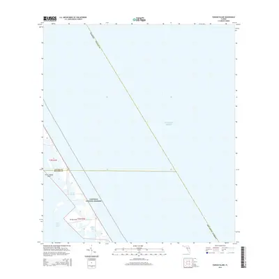
2015 Pardon Island
Volusia County, FL
2015 Samsula
Volusia County, FL
2015 Welaka SE
Volusia County, FL
2018 Ariel
Volusia County, FL
2018 Daytona Beach NW
Volusia County, FL
2018 Daytona Beach SW
Volusia County, FL
2018 Flagler Beach East
Volusia County, FL
2018 Lake Ashby
Volusia County, FL
2018 Lake Dias
Volusia County, FL
2018 Lake Woodruff
Volusia County, FL
2018 Maytown
Volusia County, FL
2018 New Smyrna Beach OE E
Volusia County, FL
2018 Osceola
Volusia County, FL
2018 Osteen
Volusia County, FL
2018 Pardon Island
Volusia County, FL
2018 Samsula
Volusia County, FL
2018 Welaka SE
Volusia County, FL
2021 Ariel
Volusia County, FL
2021 Daytona Beach NW
Volusia County, FL
2021 Daytona Beach SW
Volusia County, FL
2021 Flagler Beach East
Volusia County, FL
2021 Lake Ashby
Volusia County, FL
2021 Lake Dias
Volusia County, FL
2021 Lake Woodruff
Volusia County, FL
2021 Maytown
Volusia County, FL
2021 New Smyrna Beach OE E
Volusia County, FL
2021 Osceola
Volusia County, FL
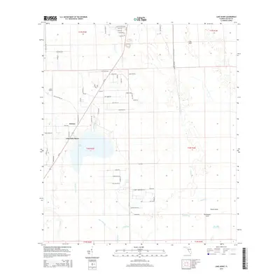
2021 Osteen
Volusia County, FL
2021 Pardon Island
Volusia County, FL
2021 Samsula
Volusia County, FL
2021 Welaka SE
Volusia County, FL
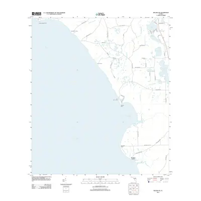
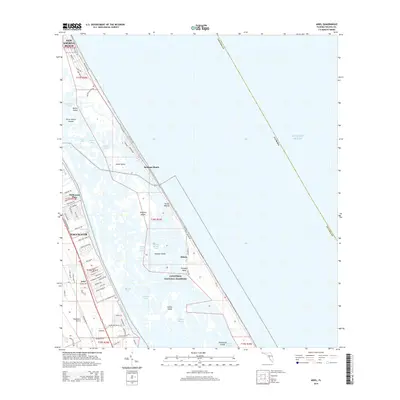
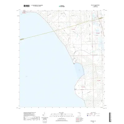
2024 Ariel
Volusia County, FL
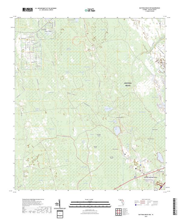
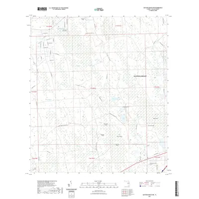
2024 Daytona Beach NW
Volusia County, FL
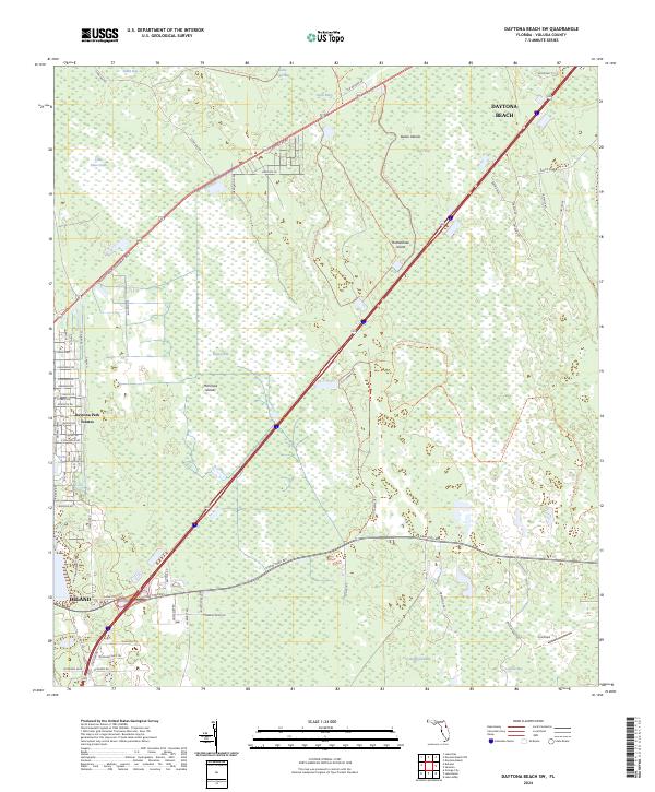
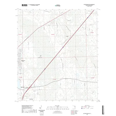
2024 Daytona Beach SW
Volusia County, FL
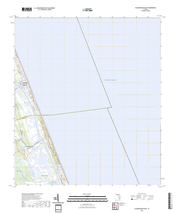
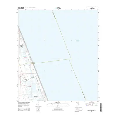
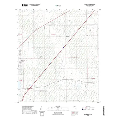
2024 Flagler Beach East
Volusia County, FL
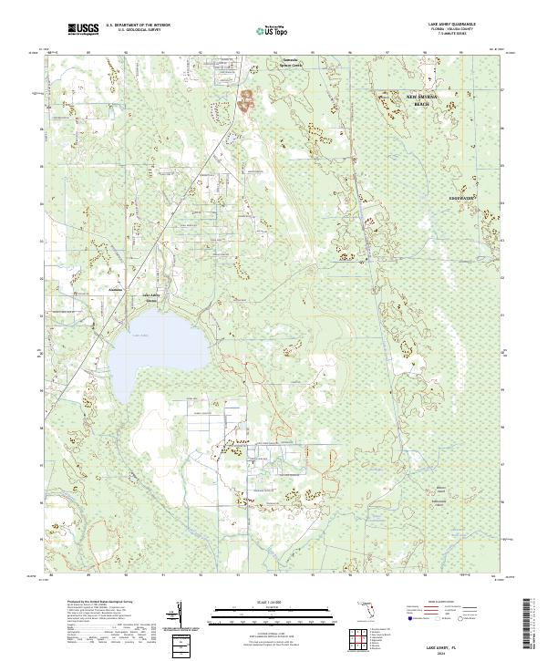
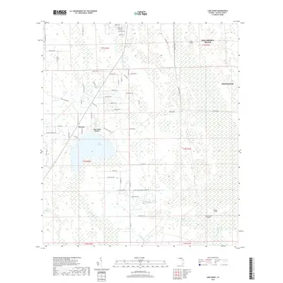
2024 Lake Ashby
Volusia County, FL
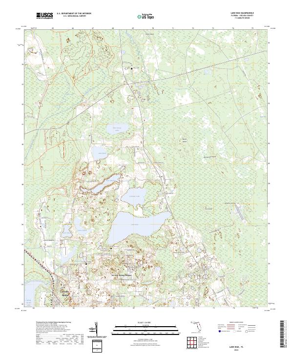
2024 Lake Dias
Volusia County, FL
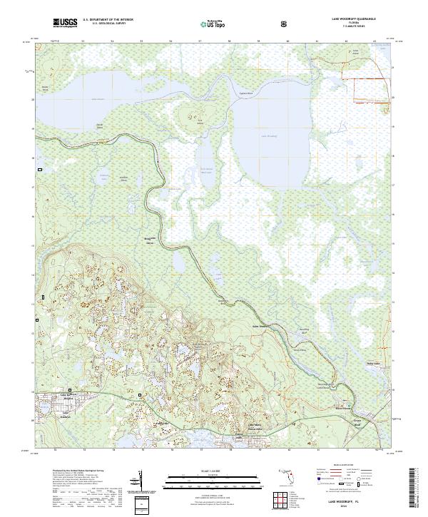
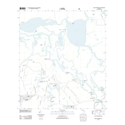
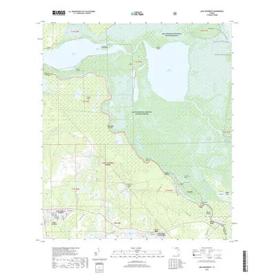
2024 Lake Woodruff
Volusia County, FL
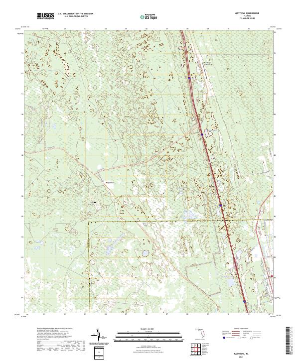
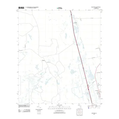
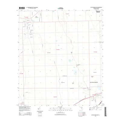
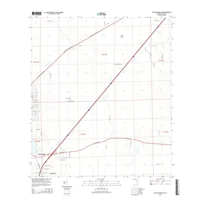
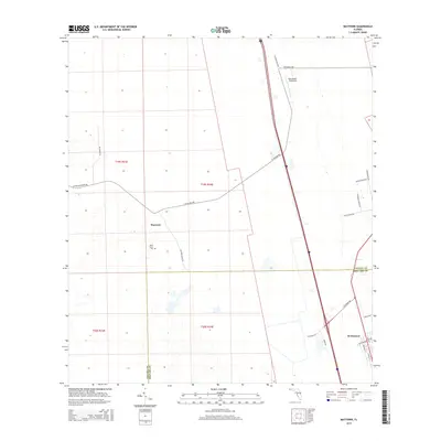
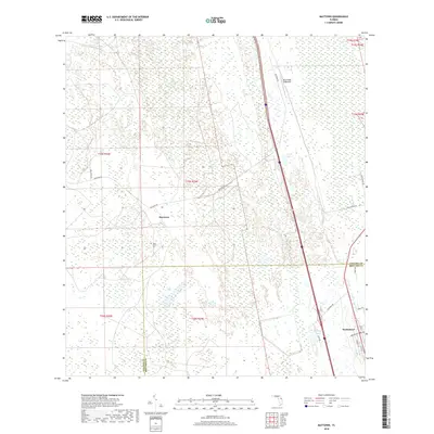
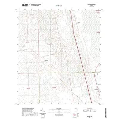
2024 Maytown
Volusia County, FL
2024 New Smyrna Beach OE E
Volusia County, FL
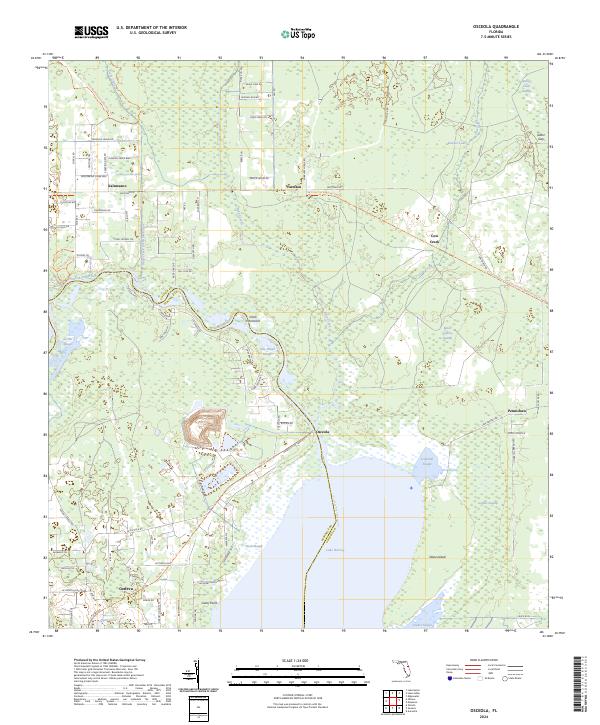
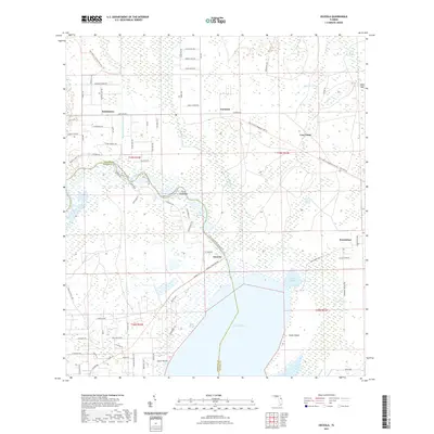
2024 Osceola
Volusia County, FL
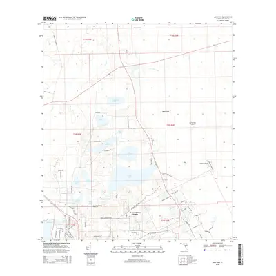
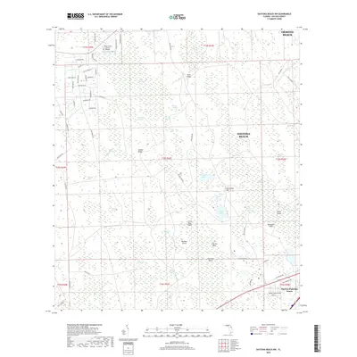
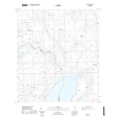
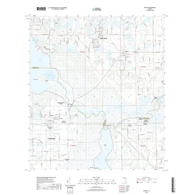
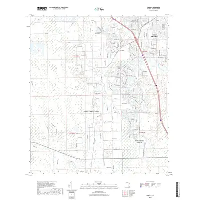
2024 Osteen
Volusia County, FL
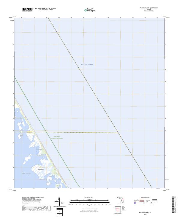
2024 Pardon Island
Volusia County, FL
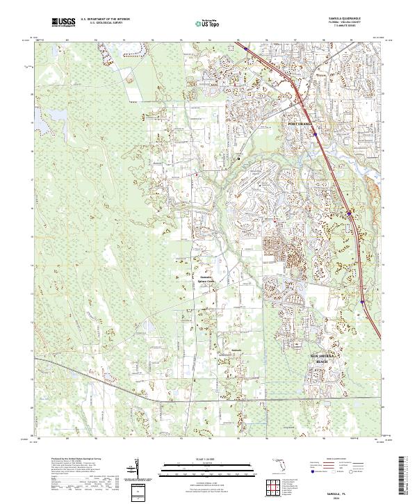
2024 Samsula
Volusia County, FL
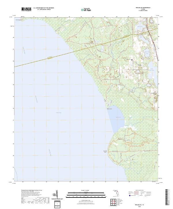
2024 Welaka SE
Volusia County, FL