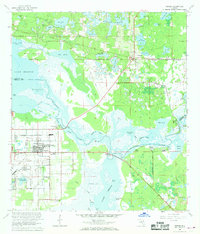
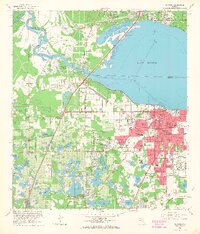
1965 Map of Osteen
USGS Topo · Published 1968About this map
Sanford Naval Air Station (Closed) occupies the southwestern quadrant of this mid-1960s landscape, marking a period of transition as military infrastructure adjacent to Midway and Canaan became inactive. The terrain is defined by the complex hydrology of the St Johns River and Lake Monroe, where intricate wetlands like Brickyard Slough and Indian Mound Slough weave through low-lying hammocks. This survey highlights the era's rural infrastructure, from the Seaboard Coast Line railroad to scattered settlements like Osteen and Cameron City. Local life is anchored by landmarks such as the Geneva Cemetery and St Pauls Church, while the presence of Indian Mound Village suggests the deep historical layer of pre-European habitation along the river bluffs. The interior is characterized by the Lake Butler Chain and numerous named ponds, reflecting the water-dependent settlement patterns of eastern Volusia County and northern Seminole County.
Find a feature on this map
80 named features on this map. Tap any name to fly to it.
Don’t see what you’re looking for? This feature index may not catch every label — zoom into the map to look around manually.
Map Details
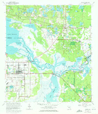
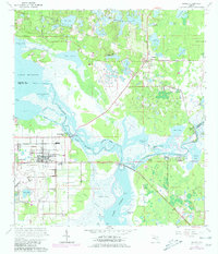
Editions of this 1965 Osteen Map
3 editions found
Other maps of this area

1949 · Osceola
USGS Topo · 1:24,000

1953 · Geneva
USGS Topo · 1:24,000

1955 · Orlando
USGS Topo · 1:250,000

1956 · Oviedo
USGS Topo · 1:24,000

1957 · Orlando
USGS Topo · 1:250,000

1958 · Orlando
USGS Topo · 1:250,000

1962 · Orlando
USGS Topo · 1:250,000

1962 · Casselberry
USGS Topo · 1:24,000
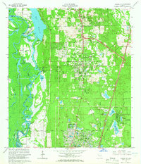
1964 · Orange City
USGS Topo · 1:24,000
1965 · Sanford
USGS Topo · 1:24,000