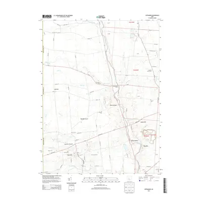
2013 Map of Ostrander
USGS Topo · Published 2013About this map
The Scioto River carves a distinctive path through this portion of Delaware County, joined by tributaries like Bokes Creek and Mill Creek. The village of Ostrander serves as a primary hub in the south, while smaller crossroads and settlements such as Warrensburg, White Sulphur, and Brindle Corner dot the landscape. This area reflects a long-standing agricultural and residential character, evidenced by the numerous family and community burial grounds including Edinburg Cem, Minton Cem, and S Radnor Cem.
Find a feature on this map
86 named features on this map. Tap any name to fly to it.
Don’t see what you’re looking for? This feature index may not catch every label — zoom into the map to look around manually.
Map Details
Editions of this 2013 Ostrander Map
This is the sole edition of this map. No revisions or reprints were ever made.
Other maps of this area

1901 · Dublin
USGS Topo · 1:62,500

1903 · Dublin
USGS Topo · 1:62,500

1913 · Richwood
USGS Topo · 1:62,500

1915 · Richwood
USGS Topo · 1:62,500

1916 · Milford Center
USGS Topo · 1:62,500

1924 · Delaware
USGS Topo · 1:62,500

1925 · Delaware
USGS Topo · 1:62,500

1944 · Richwood
USGS Topo · 1:62,500

1944 · Milford Center
USGS Topo · 1:62,500

1944 · Delaware
USGS Topo · 1:62,500